Mucuim River
| Mucuim River | |
|---|---|
 Mucuim River (Brazil) | |
| Native name | Rio Mucuim |
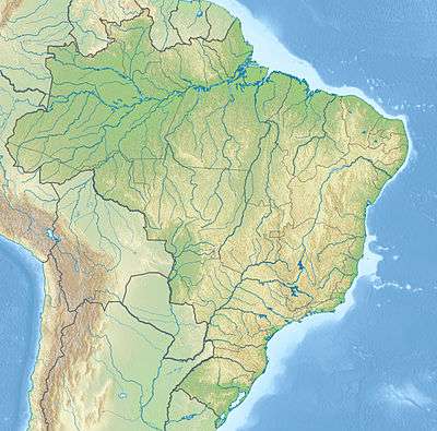
| Country | Brazil |
| Basin | |
| River mouth |
Purus River 6°32′26″S 64°20′33″W / 6.540548°S 64.342590°WCoordinates: 6°32′26″S 64°20′33″W / 6.540548°S 64.342590°W |
| River system | Purus River |
| Physical characteristics | |
| Length | 350[1] |
The Mucuim River (Portuguese: Rio Mucuim) is a river in Brazil, a tributary of the Purus River.
The river flows through the Mapinguari National Park, a 1,776,914 hectares (4,390,850 acres) conservation unit created in 2008.[2] To the north of the national park it is crossed by the Trans-Amazonian Highway (BR-230), then runs through the Balata-Tufari National Forest before joining the Purus.[3]
References
- ↑ Ziesler, R.; Ardizzone, G.D. (1979). "Amazon River System". The Inland waters of Latin America. Food and Agriculture Organization of the United Nations. ISBN 92-5-000780-9. Archived from the original on 8 November 2014.
- ↑ Unidade de Conservação: Parque Nacional Mapinguari (in Portuguese), MMA: Ministério do Meio Ambiente, retrieved 2016-06-02
- ↑ Flona de Balata-Tufari Mapa Interativo (in Portuguese), ICMBio, retrieved 2016-06-03
This article is issued from Wikipedia - version of the 9/15/2016. The text is available under the Creative Commons Attribution/Share Alike but additional terms may apply for the media files.