Munganoor, Ranga Reddy district
| Munganoor Munaganoor ముంగనూర్ | |
|---|---|
| Village | |
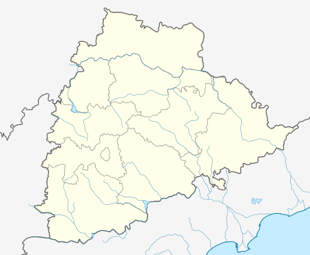 Munganoor Location in Telangana, India | |
| Coordinates: 17°18′4.09″N 78°36′32.36″E / 17.3011361°N 78.6089889°ECoordinates: 17°18′4.09″N 78°36′32.36″E / 17.3011361°N 78.6089889°E | |
| Country |
|
| State | Andhra Pradesh |
| Area | |
| • Total | 3.5 km2 (1.4 sq mi) |
| Population (2012) | |
| • Total | 2,568 |
| • Density | 730/km2 (1,900/sq mi) |
| Languages | |
| • Official | Telugu |
| Time zone | IST (UTC+5:30) |
| PIN | 501511 |
| Telephone code | 040 |
| Vehicle registration | AP 30 X XXXX |
Munaganoor is a village in Ranga Reddy district in Telangana, India. It falls under Hayathnagar mandal. It covers an area of 865 acres (350 ha).
References
This article is issued from Wikipedia - version of the 10/17/2016. The text is available under the Creative Commons Attribution/Share Alike but additional terms may apply for the media files.