Nadakuduru
Nadakuduru is a village situated in East Godavari district near Kakinada town, in Andhra Pradesh State.[1] N. It is located 5 KM towards South from District head quarters Kakinada. 4 KM from Karapa. 250 KM from State capital Amaravathi, Pin code is 533016.
Shared boundaries with Turangi, Penuguduru , Gurajanapalli and Kovvuru , villages are the nearby Villages to Nadakuduru. Nadakuduru is surrounded by Kakinada Rural Mandal towards North , Kakinada Mandal towards North , Pedapudi Mandal towards west , Kajuluru Mandal towards South .
It is near to bay of bengal. Kakinada , Samalkot , Yanam , Peddapuram are the nearby towns to Nadakuduru.
Telugu is the Local Language here. Total population of Nadakuduru is 6266 .Males are 3148 and Females are 3,118 living in 1524 Houses
| Nadakuduru నడకుదురు | |
|---|---|
| Village | |
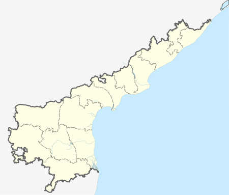
 Nadakuduru  Nadakuduru Location in Andhra Pradesh, India | |
| Coordinates: 16°54′59″N 82°12′06″E / 16.916407°N 82.2015523°ECoordinates: 16°54′59″N 82°12′06″E / 16.916407°N 82.2015523°E | |
| Country |
|
| State | Andhra Pradesh |
| Region | East Godavari District |
| District | East Godavari district |
| Population (2011) | |
| • Total | 6,266 |
| Languages | |
| • Official | Telugu |
| Time zone | IST (UTC+5:30) |
| PIN | 533016 |
. Total area of Nadakuduru is 403 hectares.
Transport
Nadakuduru is situated on Kakinada Road with connections to nearby towns and cities with regular buses and other modes of transportation.
References
- ↑ "Nadakuduru Pin Code". citypincode.in. Retrieved 2014-02-19.