Nalvathoklu
| Nalvathoklu | |
|---|---|
 | |
| Coordinates: 12°11′47″N 75°50′05″E / 12.19642°N 75.83485°ECoordinates: 12°11′47″N 75°50′05″E / 12.19642°N 75.83485°E | |
| Country |
|
| State | Karnataka |
| District | Mysorae |
| Time zone | IST (UTC+5:25) |
| PIN | 571218 |
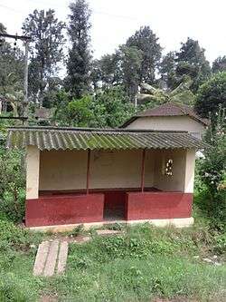
Nalvathoklu is a small village in Kodagu district of Karnataka state in India.[1]
Location
Nalvathoklu is located between Virajpet and Siddapura towns on a pocket road,[2] and it is near Gonikoppal with road connectivity. It is about 31 km towards south of Madikeri, the district headquarters and 248 km away from Bangalore, the state capital.[1]
Administration
Nalvathoklu is part of Virajpet taluk in Kodagu district.[1] It comes under Nalvathoklu Panchayath local administration.[1]
Post office
There are post offices at Nalvathoklu and Engingere villages. The pincode is 571218.[1]
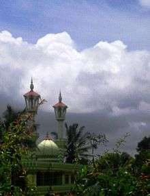
Mosques
- Shokanthali mosque
Education
The schools in the area include St.Anne P.U. College, Cauvery College, Coorg Institute of Technology, Coorg Institute of Dental Sciences, and Government School, Nalvathoklu.[1]
Demographics
Kannada and Kodava Takk, Tulu[1] and Malayalam are spoken by the people of this village. Most of the people are Hindus and Muslims.
Suburbs and villages
The settlements include Shokanthali, Kavadi, Anantpur, and Engingere Post Office.
References
- 1 2 3 4 5 6 7 "Nalvathoklu". onefivenine.com.
- ↑ "Nalvathoklu". Google maps.