Rajpipla
| Rajpipla રાજપીપલા Nandod | |
|---|---|
| Town | |
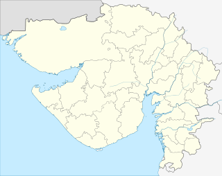
 Rajpipla  Rajpipla Location in Gujarat, India | |
| Coordinates: 21°47′N 73°34′E / 21.78°N 73.57°ECoordinates: 21°47′N 73°34′E / 21.78°N 73.57°E | |
| Country |
|
| State | Gujarat |
| District | Narmada |
| Government | |
| • Member of Parliament | Ramsinh Rathva |
| Elevation | 148 m (486 ft) |
| Population (2001) | |
| • Total | 54,923 |
| Languages | |
| • Official | Gujarati, Hindi |
| Time zone | IST (UTC+5:30) |
| Vehicle registration | GJ |
| Website |
gujaratindia |

Rajpipla is a city and a municipality in the Narmada district in the Indian state of Gujarat.
It was the capital of the former Kingdom of Rajpipla.
Geography
Rajpipla is located at 21°47′N 73°34′E / 21.78°N 73.57°E.[1] It has an average elevation of 148 metres (485 feet).
History
Rajpipla was known as Nandipuri during the rule of Gurjara kings, when it was the capital of the Lata kingdom. A later form of the name Nandol and Nandod have also been in use in medieval times.[2]
Demographics
As of 2001 India census,[3] Rajpipla had a population of 54,923. Males constitute 51% of the population and females 49%. Rajpipla has an average literacy rate of 97%, higher than the national average of 59.5%: male literacy is 92%, and female literacy is 91%. In Rajpipla, 10% of the population is under 6 years of age. Rajpipla is one of the most literate towns of Gujarat. Chief Minister Modi once gave example of Rajpipla in his speech for rapid growth of this town.
References
- ↑ Falling Rain Genomics, Inc - Rajpipla
- ↑ Vallabh Vidyanagar Research Bulletin, Volume 1, Issues 1-2, 1957, p. 36.
- ↑ "Census of India 2001: Data from the 2001 Census, including cities, villages and towns (Provisional)". Census Commission of India. Archived from the original on 2004-06-16. Retrieved 2008-11-01.
External links
- Shri-Harsiddhi-Mataji-Temple
- Genealogy of the Rajpipla house
- Rajpipla - Princely State
- Open library resource
- Playne, Somerset; Solomon, R. V. ; Bond, J. W.; Wright, Arnold; Indian States
- Rajpipla State Post - Postal History of Rajpipla State