Nowlur
| Nowlur నవులూరు | |
|---|---|
| Neighbourhood | |
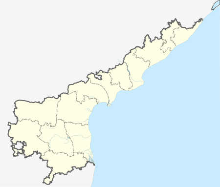
 Nowlur Location in Andhra Pradesh, India | |
| Coordinates: 16°26′39″N 80°32′18″E / 16.4443°N 80.5383°ECoordinates: 16°26′39″N 80°32′18″E / 16.4443°N 80.5383°E | |
| Country | India |
| State | Andhra Pradesh |
| District | Guntur |
| Mandal | Tenali |
| Area[1] | |
| • Total | 250 km2 (100 sq mi) |
| Population (2011)[2] | |
| • Total | 24,861 |
| • Density | 99/km2 (260/sq mi) |
| Languages | |
| • Official | Telugu |
| Time zone | IST (UTC+5:30) |
| PIN | 522307 |
Nowlur is a neighbourhood and a part of Urban Notified Area of Amaravati, the state capital of the Indian state of Andhra Pradesh.[3] It was an out growth of Mangalagiri Municipality in Guntur district, prior to its merger in the urban area of the state capital.[4][5]
Geography
Nowlur is located at 16°26′39″N 80°32′18″E / 16.4443°N 80.5383°E.
Demographics
As of 2011 census, Nowlur had a population of 24,861. The total population constitute, 12,431 males and 12,430 females —a sex ratio of 999 females per 1000 males. 2,598 children are in the age group of 0–6 years, of which 1,321 are boys and 1,277 are girls. The average literacy rate stands at 68.19% with 15,180 literates, significantly higher than the state average of 67.41%.[1]
Transport
Mangalagiri is the nearest railway station to the out growth.
References
- 1 2 "District Census Handbook - Guntur" (PDF). Census of India. p. 14,270. Retrieved 22 February 2016.
- ↑ "Census 2011". The Registrar General & Census Commissioner, India. Retrieved 22 February 2016.
- ↑ "New Andhra capital Amaravati to compete for Smart City tag". The New Indian Express. 25 May 2016. Retrieved 6 June 2016.
- ↑ "Declaration of A.P. Capital City Area–Revised orders" (PDF). Andhra Nation. Municipal Administration and Urban Development Department. 22 September 2015. Retrieved 21 February 2016.
- ↑ "Name of Urban Agglomeration and its State constituent Units-2011" (PDF). Census of India. p. 11,22–23. Retrieved 21 September 2015.