Neftekamsk
| Neftekamsk (English) Нефтекамск (Russian) Нефтекама (Bashkir) | |
|---|---|
| - City - | |
|
| |
.svg.png) Location of the Republic of Bashkortostan in Russia | |
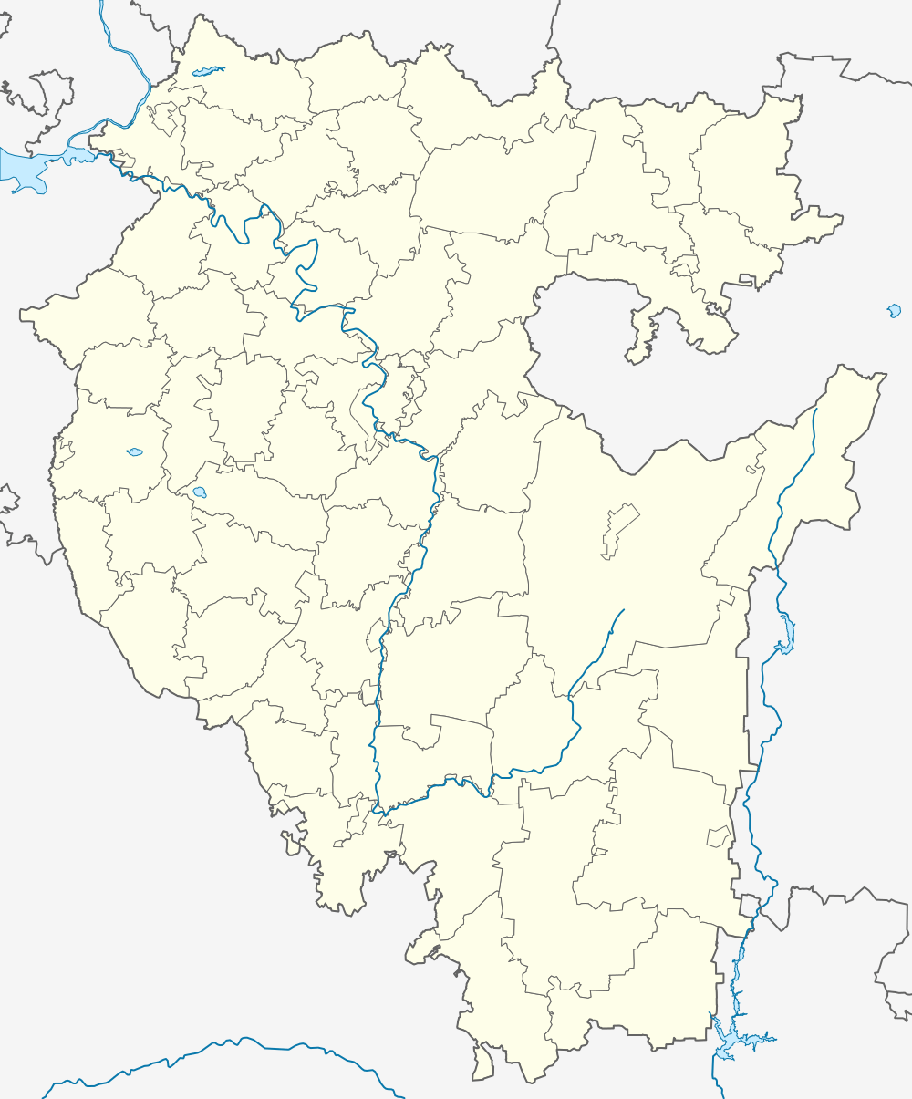 Neftekamsk | |
|
| |
.png) |
|
|
| |
| Administrative status (as of March 2011) | |
| Country | Russia |
| Federal subject | Republic of Bashkortostan |
| Administratively subordinated to | city of republic significance of Neftekamsk[1] |
| Administrative center of | city of republic significance of Neftekamsk[1] |
| Municipal status (as of January 2011) | |
| Urban okrug | Neftekamsk Urban Okrug[2] |
| Administrative center of | Neftekamsk Urban Okrug[2] |
| Head | Oleg Rudenko |
| Statistics | |
| Population (2010 Census) | 121,733 inhabitants[3] |
| - Rank in 2010 | 134th |
| Time zone | YEKT (UTC+05:00)[4] |
| Founded | 1957 |
| City status since | 1963 |
| Postal code(s)[5] | 452680—452687 |
| Dialing code(s) | +7 34783 |
|
| |
| Neftekamsk on Wikimedia Commons | |
Neftekamsk (Russian: Нефтека́мск; Bashkir: Нефтекама Neftekama) is a city in the Republic of Bashkortostan, Russia, located in the northwest of the republic on the Kama River, 220 kilometers (140 mi) from the republic's capital Ufa. It is a large industrial and cultural center of the republic. Population: 121,733 (2010 Census);[3] 122,290 (2002 Census);[6] 106,801 (1989 Census).[7]
Etymology
The city is named after the Kama River and petroleum (нефть, neft in Russian).
Geography
The city's territory borders with Krasnokamsky and Yanaulsky Districts of the republic. A road network connects the town to Ufa, Birsk, Yanaul, Agidel, Oktyabrsky, Izhevsk, Perm, and Kazan. The nearest railway station for long distance trains is located in Amzya, 15 kilometers (9.3 mi) away. There is a local train connecting Neftekamsk with Yanaul via Amzya. Neftekamsk Airport serves the city.
History
It was founded in 1957 after the discovery of an oil field in Krasnokamsky District. Town status was granted to it in 1963.
Administrative and municipal status
Within the framework of administrative divisions, it is, together with seven rural localities, incorporated as the city of republic significance of Neftekamsk—an administrative unit with the status equal to that of the districts.[1] As a municipal division, the city of republic significance of Neftekamsk is incorporated as Neftekamsk Urban Okrug.[2]
Demographics
The city ranks fourth in population in the republic after Ufa, Sterlitamak, and Salavat.
Economy
Principal place of business of the city Neftekamsk Automotive Plant ,which is one of the major producers of passenger buses in Russia.
References
Notes
- 1 2 3 Resolution #391
- 1 2 3 Law #162-z
- 1 2 Russian Federal State Statistics Service (2011). "Всероссийская перепись населения 2010 года. Том 1" [2010 All-Russian Population Census, vol. 1]. Всероссийская перепись населения 2010 года (2010 All-Russia Population Census) (in Russian). Federal State Statistics Service. Retrieved June 29, 2012.
- ↑ Правительство Российской Федерации. Федеральный закон №107-ФЗ от 3 июня 2011 г. «Об исчислении времени», в ред. Федерального закона №271-ФЗ от 03 июля 2016 г. «О внесении изменений в Федеральный закон "Об исчислении времени"». Вступил в силу по истечении шестидесяти дней после дня официального опубликования (6 августа 2011 г.). Опубликован: "Российская газета", №120, 6 июня 2011 г. (Government of the Russian Federation. Federal Law #107-FZ of June 31, 2011 On Calculating Time, as amended by the Federal Law #271-FZ of July 03, 2016 On Amending Federal Law "On Calculating Time". Effective as of after sixty days following the day of the official publication.).
- ↑ Почта России. Информационно-вычислительный центр ОАСУ РПО. (Russian Post). Поиск объектов почтовой связи (Postal Objects Search) (Russian)
- ↑ Russian Federal State Statistics Service (May 21, 2004). "Численность населения России, субъектов Российской Федерации в составе федеральных округов, районов, городских поселений, сельских населённых пунктов – районных центров и сельских населённых пунктов с населением 3 тысячи и более человек" [Population of Russia, Its Federal Districts, Federal Subjects, Districts, Urban Localities, Rural Localities—Administrative Centers, and Rural Localities with Population of Over 3,000] (XLS). Всероссийская перепись населения 2002 года [All-Russia Population Census of 2002] (in Russian). Retrieved August 9, 2014.
- ↑ Demoscope Weekly (1989). "Всесоюзная перепись населения 1989 г. Численность наличного населения союзных и автономных республик, автономных областей и округов, краёв, областей, районов, городских поселений и сёл-райцентров" [All Union Population Census of 1989: Present Population of Union and Autonomous Republics, Autonomous Oblasts and Okrugs, Krais, Oblasts, Districts, Urban Settlements, and Villages Serving as District Administrative Centers]. Всесоюзная перепись населения 1989 года [All-Union Population Census of 1989] (in Russian). Институт демографии Национального исследовательского университета: Высшая школа экономики [Institute of Demography at the National Research University: Higher School of Economics]. Retrieved August 9, 2014.
Sources
- Правительство Республики Башкортостан. Постановление №391 от 29 декабря 2006 г. «Об утверждении реестра административно-территориальных единиц и населённых пунктов Республики Башкортостан», в ред. Постановления №61 от 26 февраля 2013 г. «О внесении изменений в реестр административно-территориальных единиц и населённых пунктов Республики Башкортостан». Опубликован: "Ведомости Государственного Собрания – Курултая, Президента и Правительства Республики Башкортостан", №5 (251), ст. 239, 12 марта 2007 г. (Government of the Republic of Bashkortostan. Resolution #391 of December 29, 2006 On Adoption of the Registry of the Administrative-Territorial Entities and Inhabited Localities of the Republic of Bashkortostan, as amended by the Resolution #61 of February 26, 2013 On Amending the Registry of the Administrative-Territorial Entities and Inhabited Localities of the Republic of Bashkortostan. ).
- Государственное Собрание —Курултай Республики Башкортостан. Закон №162-з от 17 декабря 2004 г. «О границах, статусе и административных центрах муниципальных образований в Республике Башкортостан», в ред. Закона №572-з от 17 июля 2012 г. «О внесении изменения в статью 2 Закона Республики Башкортостан "О границах, статусе и административных центрах муниципальных образований в Республике Башкортостан"». Вступил в силу в соответствии со статьёй 33. Опубликован: "Республика Башкортостан", №52 (25785), 22 марта 2005 г. (State Assembly of Bashkortostan—El Kurultai. Law #162-z of December 17, 2004 On the Borders, Status, and Administrative Centers of the Municipal Formations in the Republic of Bashkortostan, as amended by the Law #572-z of July 17, 2012 On Amending Article 2 of the Law of the Republic of Bashkortostan "On the Borders, Status, and Administrative Centers of the Municipal Formations in the Republic of Bashkortostan". Effective as of the date established in accordance with the provisions of Article 33.).