Nemba
| Nemba | |
|---|---|
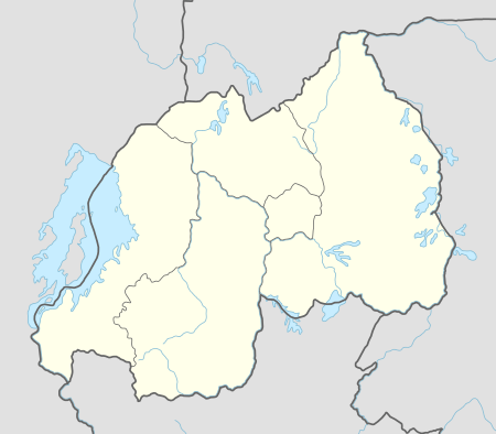 Nemba Location in Rwanda | |
| Coordinates: 02°19′48″S 30°12′09″E / 2.33000°S 30.20250°E | |
| Country |
|
| Province | Eastern Province |
| District | Bugesera District |
| Elevation | 5,970 ft (1,820 m) |
Nemba is a settlement in Rwanda.
Location
Nemba is located in Bugesera District, Eastern Province, at the border with the Republic of Burundi. Its location is about 60 kilometres (37 mi), by road, southeast of Kigali, Rwanda's capital and largest city.[1] The coordinates of the town are:2° 19' 48.00"S, 30° 12' 9.00"E (Latitude:-2.33000; Longitude:30.20250).
Population
The exact population of Nemba, Rwanda is not known as of July 2011.
Points of interest
The points of interest within the town limits or close to the edges of town include:
- Offices of Nema Town Council
- Gatuna Central Market
- The International Border Crossing between Rwanda and Burundi
- Nemba Airport - A small civilian airport, administered by the Rwanda Civil Aviation Authority.[2]
External links
See also
References
Coordinates: 02°19′00″S 30°12′09″E / 2.31667°S 30.20250°E
This article is issued from Wikipedia - version of the 11/9/2016. The text is available under the Creative Commons Attribution/Share Alike but additional terms may apply for the media files.