Kurna
| Kurna | |
|---|---|
|
Village of Qurna | |
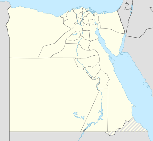 Kurna Location in Egypt | |
| Coordinates: 25°43′30″N 32°37′15″E / 25.72500°N 32.62083°ECoordinates: 25°43′30″N 32°37′15″E / 25.72500°N 32.62083°E | |
| Country |
|
| Governorate | Luxor Governorate |
| Time zone | EST (UTC+2) |
| • Summer (DST) | +3 (UTC) |

Kurna (also Gourna, Gurna, Qurna, Qurnah or Qurneh) are various spelling for a group of three closely related villages (New Qurna, Qurna and Sheikh ‘Adb el-Qurna) located on the West Bank of the River Nile opposite the modern city of Luxor in Egypt near the Theban Hills.
New Qurna was designed and built in the late 1940s and early 1950s by Egyptian architect Hassan Fathy to house people living in Qurna which is now uninhabited. New Qurna was added to the 2010 World Monuments Watch List of Most Endangered Sites to bring attention to the site's importance to modern town planning and vernacular architecture due to the loss of much of the original form of the village since it was built.
Historical use of the name Qurna
The name Kurna signifies "a promontory" or "a point of a mountain".[1]
Gourna is first mentioned by Protais and Charles François d'Orléans, two Capuchin missionary brothers travelling in Upper Egypt in 1668. Protais’ writing about their travel was published by Melchisédech Thévenot (Relations de divers voyages curieux, 1670s-1696 editions) and Johann Michael Vansleb (The Present State of Egypt, 1678).
References to Qurna, Gurna, Kournou, Gourna, El-Ckoor’neh, Gourne, el Abouab, El-Goor’neh or many other variants in pre-1940s literature refers to a spread out urban sprawl of housings stretching from approximately the Ramesseum (Mortuary Temple of Ramesses II) to the Mortuary Temple of Seti I on the east side of the Theban Hills, including the current place names of Sheikh ‘Adb el-Qurna, el-Assasif, el-Khokha, Dra ’Abu el-Nage’ and Qurna.
During the 18th, 19th and 20th centuries, visitors and travelers to the area are rarely consistent in their use of the name and anything between Medinet Habu and the tombs of el-Tarif can at times be found referred to as part of a Qurna community.
A reference to the "Temple of Gourna" or similar, is in most cases a reference to the Ramesseum, to a lesser degree the Temple of Seti I and rarely it is a reference to the all but destroyed Mortuary temples of Ramesses IV, Thutmose III or Thutmose IV.
The villages
New Qurna (or New Gourna)

New Qurna was built between 1946 and 1952 by Egyptian architect Hassan Fathy midway between the Colossi of Memnon and el-Gezira on the Nile on the main road to the Theban Necropolis to house the residents of the Qurna. The design, which combined traditional materials and techniques with modern principles was never completed and much of the fabric of the village has since been lost; all what remains today of the original New Qurna is the mosque, market and a few houses. UNESCO World Heritage conservation wishes to safeguard this important architectural site.[2] The World Monuments Fund included New Qurna in the 2010 World Monuments Watch List of Most Endangered Sites.[3]
Qurna (or Old Gourna)

Qurna is an abandoned village about 100m to the east of the Temple of Seti I. Until the early 19th century the community included at least parts of the Temple of Seti I. Several travellers, including Richard Pococke or Sonnini de Manoncourt even name a Sheikh of Qurna.[4][5] Edward William Lane relates in 1825 that the village was abandoned and not a single inhabitant lived there. Comments by Isabella Frances Romer[6] suggests that the resettling started in the late 1840s. New Qurna was built in the 1940s and early 1950 to house the then residents who strongly resisted the move.
Sheikh ‘Adb el-Qurna
A series of housing built in and around the mountain grottoes located about 200m north of the Ramesseum at Sheikh ‘Adb el-Qurna. The stretch of land has been the bitter battlefield between the original owners and the Egyptian government for the last 60 years, because it lay on top of an archeological area, part of the Tombs of the Nobles. Edward William Lane relates that the residents moved into these grottoes from the village of Qurna, which they abandoned, when the Mamluks retreated thought the area, following their defeat by Muhammad 'Alī's forces in the early 19th century.
Restoration at New Gourna

References
- ↑ Edward William Lane, Description of Egypt - notes and views made during the years 1825-1828, The American University in Cairo Press, 2000
- ↑ "UNESCO launches safeguarding project at New Gourna Village, part of Ancient Thebes World Heritage site".
- ↑ World Monuments Fund - New Gourna Village
- ↑ Richard Pococke, A Description of the East and Some other Countries, Vol.I: Observations on Egypt, W. Boyer, London, 1743
- ↑ Charles-Nicolas-Sigisbert Sonnini de Manoncourt, Voyage dans la haute et basse Egypte, F. Buisson, Paris, an VII (1798) 4 vol.
- ↑ Isabella Frances Romer, A Pilgrimage to the Temples and Tombs of Egypt, Nubia, and Palestine in 1845-46, Richard Bentley, London, 1846 2 vol.