Newtown, Staffordshire
Coordinates: 52°38′20″N 2°00′43″W / 52.639°N 2.012°W
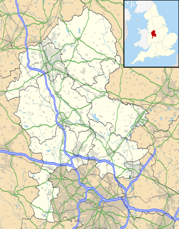
Newtown, Staffordshire is a small village in South Staffordshire, England.[1] For population details as taken in the 2011 census see Essington
Newtown lies in between Great Wyrley (to the north) and Bloxwich (to the south), or more precisely, Landywood (to the north) and Bloxwich (to the south), forming part of the Staffordshire/West Midlands border.[2] It lies on Walsall Road, the main route between Walsall and Cannock, which forms part of the A34.
Scant online information exists on Newtown, as it is only a small residential village, with very little other than housing.
References
- ↑ Signs upon entering Newtown read "District of South Staffordshire"
- ↑ Small page on UKVillages.com showing map location
This article is issued from Wikipedia - version of the 1/24/2016. The text is available under the Creative Commons Attribution/Share Alike but additional terms may apply for the media files.