Nieuw-Beerta
| Nieuw-Beerta | |
|---|---|
| Village | |
|
Protestant Church in 2011 | |
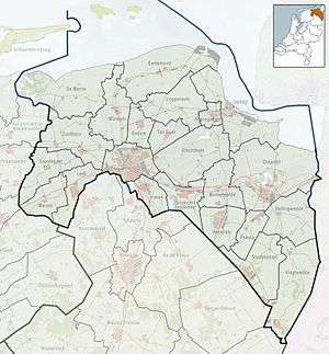 Nieuw-Beerta Location of Nieuw-Beerta in Groningen in the Netherlands | |
| Coordinates: 53°11′N 7°10′E / 53.183°N 7.167°ECoordinates: 53°11′N 7°10′E / 53.183°N 7.167°E | |
| Country | Netherlands |
| Province | Groningen |
| Municipality | Oldambt |
| Area (2015)[1] | |
| • Total | 38 ha (94 acres) |
| • Land | 38 ha (94 acres) |
| • Water | 0 ha (0 acres) |
| Population (2015)[1] | |
| • Total | 120 |
| • Density | 320/km2 (820/sq mi) |
| Postal code | 9687[2] |
| Area code | 0597[3] |

Nieuw-Beerta (Dutch pronunciation: [niu ˈbeːrtaː]) is a village with a population of 120[1] in the municipality of Oldambt[4] in the east of the province of Groningen in the northeast of the Netherlands.
The Royal Netherlands Meteorological Institute has a weather station in the village.[5]
References
- 1 2 3 Kerncijfers wijken en buurten 2015 (in Dutch), Statistics Netherlands, 2015. Retrieved 7 January 2016.
- ↑ Zoekresultaten (in Dutch), Postcode.nl. Retrieved 7 January 2016.
- ↑ Netnummer zoeken (in Dutch), Telefoonboek.nl. Retrieved 7 January 2016.
- ↑ Dorpen en wijken (in Dutch), Municipality of Oldambt. Retrieved 7 January 2016.
- ↑ "Sluiting weerstation Nieuw-Beerta opgeschort" (in Dutch), RTV Noord, 2014. Retrieved 15 January 2016.
External links
-
 Media related to Nieuw-Beerta at Wikimedia Commons
 - Nieuw-Beerta at municipal website
This article is issued from Wikipedia - version of the 2/27/2016. The text is available under the Creative Commons Attribution/Share Alike but additional terms may apply for the media files.