Nigadoo
| Nigadoo | |
|---|---|
| Village | |
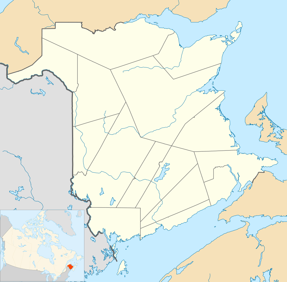 Nigadoo Location within New Brunswick. | |
| Coordinates: 47°44′17″N 65°42′40″W / 47.73805°N 65.711°W | |
| Country |
|
| Province |
|
| County | Gloucester |
| Parish | Beresford |
| Village Status | 1967 |
| Electoral Districts Federal |
Acadie—Bathurst |
| Provincial | Nigadoo-Chaleur |
| Government[1] | |
| • Type | Town council |
| • Mayor | Gilberte Boudreau |
| Area[2] | |
| • Land | 7.69 km2 (2.97 sq mi) |
| Population (2011)[2] | |
| • Total | 952 |
| • Density | 123.8/km2 (321/sq mi) |
| • Pop 2006-2011 |
|
| • Dwellings | 410 |
| Time zone | AST (UTC-4) |
| • Summer (DST) | ADT (UTC-3) |
| Postal code(s) | E8K |
| Area code(s) | 506 |
| Highways |
|
Nigadoo (2011 pop.: 952) is a Canadian village in Gloucester County, New Brunswick.[3]
The village is located at the mouth of the Nigadoo River on Chaleur Bay, 15 km northwest of Bathurst and adjacent to Beresford.
Approximately 87% of residents are francophone Acadians.
In the Mi'kmaq language "nigadoo" roughly translates as "place to hide."
History
Demographics
Population
| Canada census – Nigadoo, New Brunswick community profile | |||
|---|---|---|---|
| 2011 | 2006 | 2001 | |
| Population: | 952 (+2.7% from 2006) | 927 (-3.2% from 2001) | 983 (+2.3% from 1996) |
| Land area: | 7.69 km2 (2.97 sq mi) | 7.69 km2 (2.97 sq mi) | 7.82 km2 (3.02 sq mi) |
| Population density: | 123.8/km2 (321/sq mi) | 120.6/km2 (312/sq mi) | 125.7/km2 (326/sq mi) |
| Median age: | 45.2 (M: 44.2, F: 46.4) | 43.5 (M: 42.1, F: 45.0) | 38.9 (M: 37.3, F: 40.2) |
| Total private dwellings: | 410 | 401 | 406 |
| Median household income: | $48,782 | $43,357 | $37,652 |
| References: 2011[2] 2006[4] 2001[5] | |||
| Historical Census Data - Nigadoo, New Brunswick[6] | |||||||||||||||||||||||||||||
|---|---|---|---|---|---|---|---|---|---|---|---|---|---|---|---|---|---|---|---|---|---|---|---|---|---|---|---|---|---|
|
|
| |||||||||||||||||||||||||||
(A) adjustment due to boundary change. | |||||||||||||||||||||||||||||
Language
| Canada Census Mother Tongue - Nigadoo, New Brunswick[6] | ||||||||||||||||||
|---|---|---|---|---|---|---|---|---|---|---|---|---|---|---|---|---|---|---|
| Census | Total | French |
English |
French & English |
Other | |||||||||||||
| Year | Responses | Count | Trend | Pop % | Count | Trend | Pop % | Count | Trend | Pop % | Count | Trend | Pop % | |||||
| 2011 |
955 |
855 | |
89.53% | 80 | |
8.38% | 15 | |
1.57% | 5 | |
0.52% | |||||
| 2006 |
920 |
865 | |
94.02% | 55 | |
5.98% | 0 | |
0.00% | 0 | |
0.00% | |||||
| 2001 |
980 |
860 | |
87.76% | 120 | |
12.24% | 0 | |
0.00% | 0 | |
0.00% | |||||
| 1996 |
930 |
830 | n/a | 89.25% | 90 | n/a | 9.68% | 10 | n/a | 1.07% | 0 | n/a | 0.00% | |||||
Notable people
Main article: List of people from Gloucester County, New Brunswick
See also
References
- ↑ Government of New Brunswick website: Nigadoo
- 1 2 3 2011 Statistics Canada Census Profile: Nigadoo, New Brunswick
- ↑ New Brunswick Provincial Archives - Nigadoo
- ↑ "2006 Community Profiles". Canada 2006 Census. Statistics Canada. March 30, 2011. Retrieved 2014-04-02.
- ↑ "2001 Community Profiles". Canada 2001 Census. Statistics Canada. February 17, 2012. Retrieved 2014-04-02.
- 1 2 Statistics Canada: 1996, 2001, 2006, 2011 census
 |
Tremblay | Petit-Rocher | | |
| Saint-Laurent | |
~~Chaleur Bay~~ | ||
| ||||
| | ||||
| Robertville | Beresford |
Coordinates: 47°44′17″N 65°42′40″W / 47.73806°N 65.71111°W
This article is issued from Wikipedia - version of the 1/18/2015. The text is available under the Creative Commons Attribution/Share Alike but additional terms may apply for the media files.