Eel River Crossing, New Brunswick
| Eel River Crossing | ||
|---|---|---|
| Village | ||
| ||
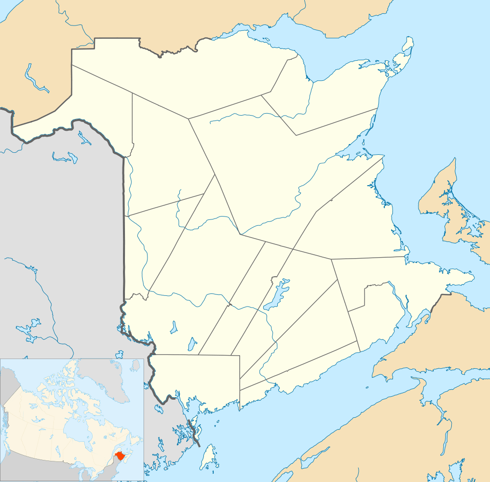 Eel River Crossing Location within New Brunswick. | ||
| Coordinates: 48°00′45″N 66°25′15″W / 48.0125°N 66.420833°W | ||
| Country |
| |
| Province |
| |
| County | Restigouche | |
| Parish | Dalhousie | |
| Founded | 1875 | |
| Incorporated | November 9, 1966 | |
| Electoral Districts Federal |
Madawaska—Restigouche | |
| Provincial | Dalhousie-Restigouche East | |
| Government[1] | ||
| • Type | Village Council | |
| • Mayor | Denis D. Savoie | |
| • Councillors |
List of Members
| |
| Area[2] | ||
| • Land | 17.45 km2 (6.74 sq mi) | |
| Population (2011)[2] | ||
| • Total | 1,209 | |
| • Density | 69.3/km2 (179/sq mi) | |
| • Pop 2006-2011 |
| |
| • Dwellings | 527 | |
| Time zone | AST (UTC-4) | |
| • Summer (DST) | ADT (UTC-3) | |
| Postal code(s) |
| |
| Area code(s) | 506 | |
| Highways |
| |
| Median Income* | $42,411 CDN | |
| Website | http://www.ercvillage.com/ | |
| ||

Eel River Crossing (2011 population: 1,209) is a Canadian village in Restigouche County, New Brunswick.[3]
It is the administrative headquarters of the Eel River Bar Mi'kmaq First Nation band government.
in Mi'kmaq, Eel River was known as Okpĕgŭnchĭk which meant "discolored foam on the water".[4]
History
Usually simplified to simply Eel River, the village is situated on the Eel River. It received the name "Crossing" after the Intercolonial Railway built its Halifax-Rivière-du-Loup main line through the community in 1875.
Demographics
|
Population trend[5]
|
Mother tongue language (2006)[6]
|
Trivia
- Approximately 92% of the population is francophone.
- It is the site of the Eel River Converter Station.
Notable people
Main article: List of people from Restigouche County, New Brunswick
See also
References
- ↑ Government of New Brunswick website: Eel River Crossing
- 1 2 2011 Statistics Canada Census Profile: Eel River Crossing, New Brunswick
- ↑ New Brunswick Provincial Archives - Eel River Crossing
- ↑ Rand, Silas Tertius (1875-01-01). A First Reading Book in the Micmac Language: Comprising the Micmac Numerals, and the Names of the Different Kinds of Beasts, Birds, Fishes, Trees, &c. of the Maritime Provinces of Canada. Also, Some of the Indian Names of Places, and Many Familiar Words and Phrases, Translated Literally Into English. Nova Scotia Printing Company.
- ↑ Statistics Canada: 1996, 2001, 2006 census
- ↑ 2006 Statistics Canada Community Profile: Eel River Crossing, New Brunswick
External links
 |
Dalhousie Junction | McNeish | Darlington | |
| Dundee | |
Eel River 3 | ||
| ||||
| | ||||
| Balmoral | Selwood | Eel River Cove |
Coordinates: 48°00′45″N 66°25′15″W / 48.01250°N 66.42083°W
This article is issued from Wikipedia - version of the 3/8/2016. The text is available under the Creative Commons Attribution/Share Alike but additional terms may apply for the media files.