Wyham cum Cadeby
| Wyham cum Cadeby | |
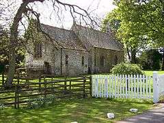
 All Saints church, Wyham |
|
 Wyham cum Cadeby |
|
| OS grid reference | TF283949 |
|---|---|
| – London | 140 mi (230 km) S |
| District | East Lindsey |
| Shire county | Lincolnshire |
| Region | East Midlands |
| Country | England |
| Sovereign state | United Kingdom |
| Post town | Grimsby |
| Postcode district | DN36 |
| Police | Lincolnshire |
| Fire | Lincolnshire |
| Ambulance | East Midlands |
| EU Parliament | East Midlands |
| UK Parliament | Louth and Horncastle (UK Parliament constituency) |
|
|
Coordinates: 53°26′09″N 0°04′11″W / 53.435880°N 0.06964°W
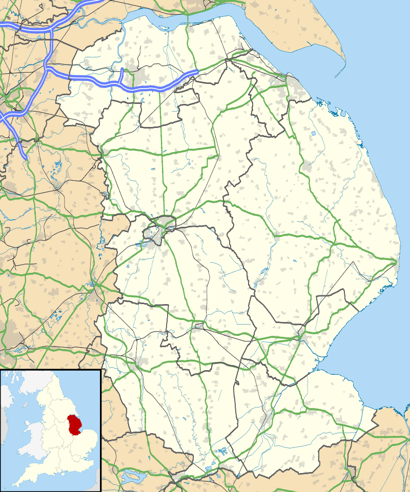
Wyham cum Cadeby (otherwise Wyham with Caldeby[1]) is a depopulated civil parish[2] in the East Lindsey[3] district of Lincolnshire, England. The nearest village is Ludborough (where any remaining population is included), about 1 mile (1.6 km) to the east on the A16 road, and the nearest town, Louth, 5 miles (8 km) to the south.
Wyham cum Cadeby consists of the remaining hamlet of Wyham (grid reference TF277951[4]) and the former village of Cadeby, otherwise North Cadeby (TF271960,[5]), both settlements a deserted medieval village.
The parish church, dedicated to All Saints, once seated 90. It was restored in 1886[6] and declared redundant and sold in 1982.[7] The parish records are held in Lincoln.[8]
There is a former chalk quarry which has been converted to a clay and skeet shooting ground.
References
- ↑ Vision of Britain
- ↑ "Parish Administration record, East Lindsey".
- ↑ District council
- ↑ Historic England. "Wyham (353255)". PastScape. Retrieved 14 April 2010.
- ↑ Historic England. "Cadeby (353252)". PastScape. Retrieved 14 April 2010.
- ↑ Historic England. "All Saints Church (527299)". PastScape. Retrieved 28 April 2010. Not updated since it was converted.
- ↑ GENUKI
- ↑ "Index of Parish Records held by Lincolnshire Archive" (PDF).
External links
 Media related to Wyham cum Cadeby at Wikimedia Commons
- History of Cadeby Hall, pictures and maps