Nowa Biała, Lesser Poland Voivodeship
See also: Nowa Biała, Masovian Voivodeship
| Nowa Biała | |
|---|---|
| Village | |
|
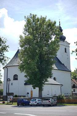
St. Catherine church | |
 Nowa Biała | |
| Coordinates: 49°27′N 20°9′E / 49.450°N 20.150°E | |
| Country |
|
| Voivodeship | Malopolska |
| County | Nowy Targ |
| Gmina | Gmina Nowy Targ |
| Highest elevation | 620 m (2,030 ft) |
| Lowest elevation | 600 m (2,000 ft) |
| Population | 1,300 |
| Website | www.nowabiala.com |
Nowa Biała [ˈnɔva ˈbjawa] (Hungarian: Újbéla, Slovak: Nová Belá) is a village in the administrative district of Gmina Nowy Targ, within Nowy Targ County, Lesser Poland Voivodeship, in southern Poland. It lies approximately 10 kilometres (6 mi) east of Nowy Targ and 70 km (43 mi) south of the regional capital Kraków.[1]
The village is in Central European Time, or UTC +1[2][3] and has a population of 1,300.
It is one of the 14 villages in the Polish part of the historical region of Spiš (Polish: Spisz) and the only one of them lying on the left bank of the Białka river, owing to translocation of the stream in the past.[4]
References
- ↑ "Central Statistical Office (GUS) – TERYT (National Register of Territorial Land Apportionment Journal)" (in Polish). 2008-06-01.
- ↑ "Nowa Biała - Poland". stad.com. Retrieved April 21, 2014.
- ↑ "CET – Central European Time". Time and Date AS. Retrieved April 21, 2014.
- ↑ Józef Nyka (2010). Pieniny. Przewodnik. Latchorzew. p. 95. ISBN 978-83-60078-09-9.
| Wikimedia Commons has media related to Nowa Biała, Lesser Poland Voivodeship. |
Coordinates: 49°27′N 20°9′E / 49.450°N 20.150°E
This article is issued from Wikipedia - version of the 3/8/2015. The text is available under the Creative Commons Attribution/Share Alike but additional terms may apply for the media files.