Octon, East Riding of Yorkshire
Coordinates: 54°06′52″N 0°25′13″W / 54.114324°N 0.420153°W
Octon is a hamlet, and shrunken medieval village in the East Riding of Yorkshire, England.
History

Octon is recorded in the 11th-century Domesday Book as "Ocheton".[1] The village contained a chapel dedicated to St. Michael (noted in 1327).[2] After around 1400 no records exist relating to the chapel, and the village is thought likely to have been depopulated as a result of the Black Death.[3]
By the 19th century the village was reduced to a small farming hamlet. In 1823 three farmers and a gamekeeper were recorded as resident in Octon, with a further two farmers at Octon Grange just over 1 mile (1.6 km) to the north.[4] The extent of the hamlet remained unexpanded throughout the 19th and 20th centuries.[5]
The modern village is at the same location as the reduced medieval village; earthworks of the medieval church and village were scheduled as an ancient monument in 1994.[6] The 'Old farmhouse' at Glebe farm, Octon, a cruck framed longhouse dating from the 17th century is a Grade II* listed building.[7]
Geography
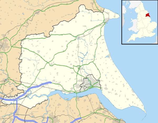
Octon is located approximately 1.25 miles (2 km) west of Thwing in the civil parish of Thwing and Octon. It is situated in the Yorkshire Wolds at a height of over 330 feet (100 m) above sea level approximately 9.5 miles (15 km) west of Bridlington on the North Sea coast. The village includes a large house 'Octon Manor'.[8]
Notable people
- Thomas Lamplugh, archbishop, was born in Octon in 1614.[9]
References
- ↑ Octon in the Domesday Book. Retrieved 14 November 2012.
- ↑ Lawton, George (1840), Collectio rerum ecclesiasticarum de Dioecesi Eboracensi: or, Collections relative to churches and chapels within the Diocese of York. To which are added, Collections relative to churches and chapels within the Diocese of Ripon, 2, J. G. F & J. Rivington, Octon, p.314
- ↑ Jennings, Bernard (2002), "A Longer View of the Wolds", in Thirsk, Joan, Rural England: A history of the landscape, Oxford University Press, p. 68
- ↑ Baines, Edward (1823), History, directory & gazeteer, of the county of York ..., 2, E. Baines, p. 374
- ↑ Ordnance Survey. 1854, 1892, 1912–3, 1952–3, 1972–83. 1:10560 and 1:10000
- ↑ Historic England. "Octon shrunken village (79871)". PastScape. Retrieved 13 January 2013.
- ↑ Historic England. "The Old farmhouse, Glebe Farm (1309563)". National Heritage List for England. Retrieved 6 December 2012.
- ↑ Ordnance Survey. 1:25000. 2009
- ↑ "26. The Roll of Honour". The East Riding of Yorkshire. Cambridge County Geographies. p. 149. Retrieved 29 April 2013.
Sources
- Gazetteer — A–Z of Towns Villages and Hamlets. East Riding of Yorkshire Council. 2006. p. 9.
External links
 Media related to Octon, East Riding of Yorkshire at Wikimedia Commons