Olwiyo
| Olwiyo | |
|---|---|
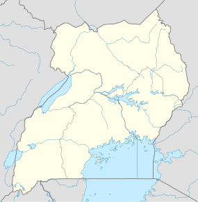 Olwiyo Location in Uganda | |
| Coordinates: 02°32′15″N 31°53′06″E / 2.53750°N 31.88500°E | |
| Country |
|
| District | Nwoya |
Olwiyo is a town in Nwoya District in the Northern Region of Uganda.
Location
The town is approximately 21 kilometres (13 mi) ,by road, southwest of Nwoya, the site of the district headquarters.[1] The town is at the intersection of the Karuma–Pakwach road with the Acholibur–Gulu–Olwiyo Road, approximately 314 kilometres (195 mi) north of Kampala, the capital and largest city of Uganda.[2] The coordinates of Olwiyo are 2°32'15.0"N, 31°53'06.0"E (Latitude:2.5375; Longitude:31.8850).[3]
Power line
A 60 kilometres (37 mi) 440 kilovolt electricity line from Karuma Power Station is under construction to a substation in Olwiyo, under the supervision of Intec Gopa International Energy Consultants GmbH of Germany.[4]
See also
References
- ↑ GFC (21 July 2015). "Road Distance Between Nwoya And Olwiyo With Map". Globefeed.com (GFC). Retrieved 21 July 2015.
- ↑ GFC (21 July 2015). "Road Distance Between Olwiyo And Kampala With Map". Globefeed.com (GFC). Retrieved 21 July 2015.
- ↑ Google (21 July 2015). "Location of Olwiyo At Google Maps" (Map). Google Maps. Google. Retrieved 21 July 2015.
- ↑ Odyek, John (13 August 2015). "UETCL Signs €5.2 Million (USh20.5 Billion) Deal With German Company". New Vision. Kampala. Retrieved 13 August 2015.
External links
Coordinates: 02°32′15″N 31°53′06″E / 2.53750°N 31.88500°E
Capital: Nwoya | ||
| Towns and villages | ||
| Geography |
| |
| Economy | ||
| Energy | ||
| Transport | ||
| Health | ||
| Notable landmarks | ||
| Notable people | ||