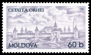
Orhei
| Orhei | |||
|---|---|---|---|
|
| |||
| |||
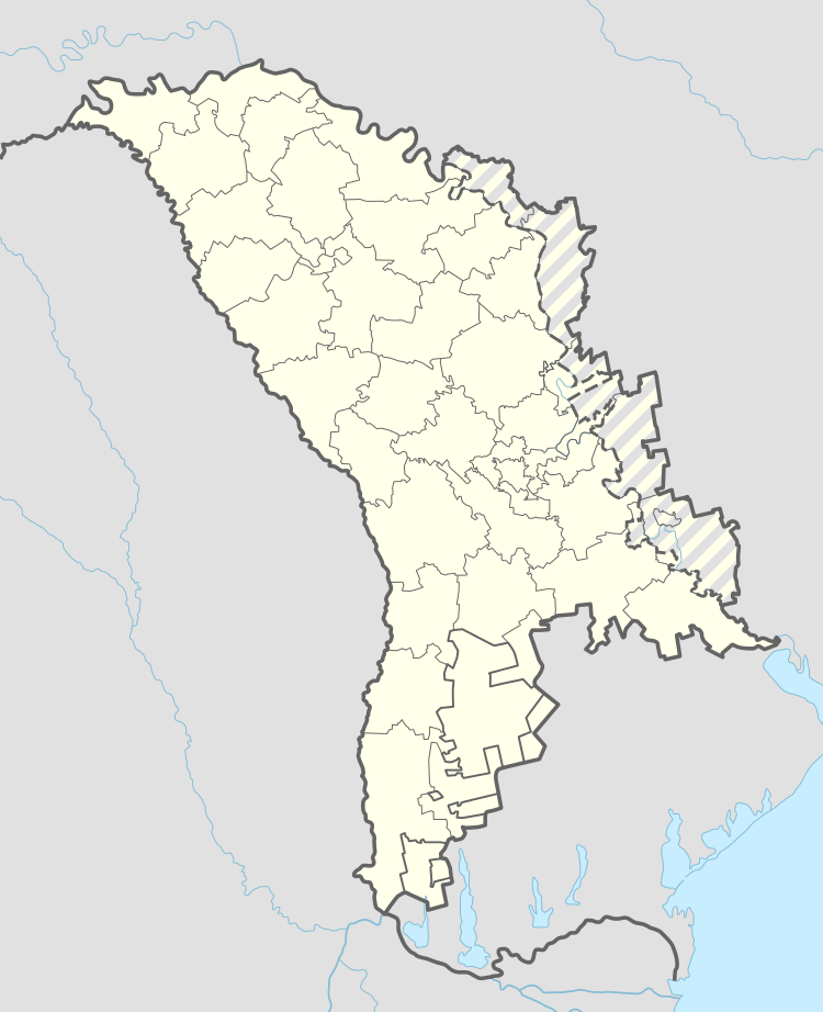 Orhei Location within Moldova | |||
| Coordinates: 47°23′N 28°49′E / 47.383°N 28.817°E | |||
| Country |
| ||
| County | Orhei District | ||
| Government | |||
| • Mayor | Ilan Shor | ||
| Area | |||
| • Total | 8,5 km2 (33 sq mi) | ||
| Population (2012) | |||
| • Total | 33,500 | ||
| • Density | 3,941,2/km2 (102,080/sq mi) | ||
| Time zone | EET (UTC+2) | ||
| • Summer (DST) | EEST (UTC+3) | ||
Orhei (Moldovan Cyrillic: Орхей; Romanian pronunciation: [orˈhej]), older Orgeev (Russian: Орге́ев) (Yiddish Uriv – אוריװ), is a city and the administrative centre of Orhei District in Moldova with a population of 32,000. Orhei is approximately 40 kilometres (25 miles) north of the capital, Chişinău.
History
Orhei takes its name from the medieval city of Old Orhei, about 10 miles (16 km) below the modern city on the Răut River, which was destroyed by the Crimean Tatars in the 14th to 16th centuries.[1] It was the Turkish military center of northern Bessarabia until it was taken by the Russian Empire in 1812. The word "orhei" was used by local population, meaning "strengthened hill, fortress, deserted courtyard" [2]
Like the rest of Bessarabia, Orhei became part of the Kingdom of Romania after World War I and was annexed by the USSR in 1940. It was completely destroyed during the Jassy–Kishinev Offensive of August 1944 and was rebuilt after the war. In 1991 it became part of the Republic of Moldova.
Prior to 2003, Orhei was the capital of Orhei County, a large administrative region, but the country was divided further in Raion, or districts.
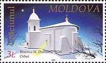
The St. Dumitru Church built by Vasile Lupu is located in this town. Orhei gets its name from Orheiul Vechi, an active monastery near the village of Ivancea.
The name "Orhei" is, according to one theory, derived from the Hungarian word Őrhely, meaning "lookout post", dating from the 13th century, when Hungarian forces built a series of defences in the area.[3]
Demographics
While Orhei was still within Bessarabia, the population in 1920 was estimated to be 25,000. At that time, two thirds of the population were Jewish. The remaining population was Russian, Romanian and Ruthenians.[4] Most people speak Romanian and Russian. There is one school that is taught in Russian.
Economy
Orhei was the first place in what was then known as Bessarabia, to have a successful tobacco industry. The area is also known for wine production.[4]
Religion
Orhei was home to many Jews prior to World War II, and has a large Jewish cemetery. There is only one active synagogue left in the community. The main churches are Russian Orthodox. Also in the area are Baptist, Roman Catholic, a Seventh-day Adventist Church, The Church of Jesus Christ of Latter-day Saints, The Salvation Army and Jehovah's Witnesses.
Media
In Orhei exist a local radiostation - Radio Orhei. News from Orhei region, republic and international can be found on radioorhei.info. The broadcasting of Radio Orhei and news on radioorhei.info is in Romanian language. There is also a site [orhei.md] that can be accessed for more information about events or for viewing ads.
International relations
Twin towns – Sister cities
Orhei is twinned with:
-
 Bicaz, Romania
 -
 Piatra Neamţ, Romania[5]
Natives
| Historical population | ||
|---|---|---|
| Year | Pop. | ±% |
| 1930 | 14,805 | — |
| 1959 | 14,131 | −4.6% |
| 1970 | 25,707 | +81.9% |
| 1979 | 30,260 | +17.7% |
| 1989 | 31,843 | +5.2% |
| 2004 | 25,641 | −19.5% |
| 2012 est. | 33,500 | +30.7% |
Gallery
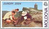
 Interwar Coat of Arms of Orhei
References
| Wikimedia Commons has media related to Orhei. |
- ↑ "Slavic Orgeev, Orkhei and Hungarian Őrhely," Ural-altaische Jahrbücher 61 (1989), p. 127.
- ↑ Teodor PORUCIC - Lexiconul termenilor entropici din limba română în Basarabia, extras din Arhivele Basarabiei, 1931, nr. 1-4, Chişinău
- ↑ Nándor Bárdi, László Diószegi, András Gyertyánfy, "Hungarians in Moldavia", Magyar Kisebbség 1–2 (7–8), 1997 (III), pp. 370–390.
- 1 2 Kaba, John (1919). Politico-economic Review of Basarabia. United States: American Relief Administration. p. 14.
- ↑ "Piatra Neamţ – Twin Towns". 2007–2008 Piatra-Neamt.net. Retrieved 27 September 2009. External link in
|publisher=(help)
Coordinates: 47°23′N 28°49′E / 47.383°N 28.817°E
