Pasanauri
| Pasanauri ფასანაური | |
|---|---|
.jpg) | |
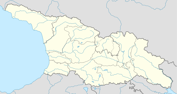 Pasanauri ფასანაური Location of Pasanauri in Georgia | |
| Coordinates: 42°23′47″N 44°38′55″E / 42.39639°N 44.64861°ECoordinates: 42°23′47″N 44°38′55″E / 42.39639°N 44.64861°E | |
| Country |
|
| Mkhare | Mtskheta-Mtianeti |
| Elevation | 1,050 m (3,440 ft) |
| Population (2002) | |
| • Total | 1,600 |
| Time zone | Georgian Time (UTC+4) |
Pasanauri (Georgian: ფასანაური, also spelled Passanauri) is a small town (daba) in Georgia, situated in the Dusheti district, Mtskheta-Mtianeti region.
Pasanauri lies about 90 kilometres (56 mi) north of the nation’s capital of Tbilisi,[1] at elevation of 1,050 m. above sea level.[2] Located on the Georgian Military Road, Pasanauri is flanked by the Aragvi River,[3] and surrounded by the Caucasus Mountains. Average winter temperature is 0 degrees Celsius, but often falls below 10 degrees Celsius. As of the 2002 census, the townlet had a population of 1.600.
Due to its picturesque location and the proximity to nearby historical sites as well as for its mineral water, hiking routes, handcrafted items and food, Pasanauri became a popular tourist destination in the Soviet period,[4] but suffered decay during the years of post-Soviet crisis.
References
- ↑ Dubinskaya, Lidiya (1985). The Soviet Union. Raduga Publishers. p. 274. Retrieved 2008-10-18.
- ↑ "Pasanauri". WeatherOnline. Retrieved 2008-10-18.
- ↑ Ghambashidze, David (2007). Mineral Resources of Georgia and Caucasia - Manganese Industry of Georgia. READ BOOKS. p. 101. ISBN 978-1-4086-2831-7. Retrieved 2008-10-18.
- ↑ Javaxišvili, Alekʻsandre; Georgiĭ Grigorʹevich Gvelesiani. Soviet Georgia. Progress Publishers. p. 162. Retrieved 2008-10-18.
| Wikimedia Commons has media related to Pasanauri. |