Phiri, Soweto
| Phiri | |
|---|---|
 Phiri  Phiri  Phiri
| |
|
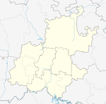
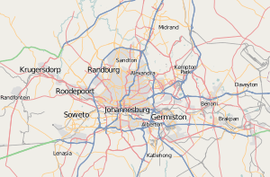
Location within Greater Johannesburg  Phiri | |
| Coordinates: 26°16′12″S 27°51′18″E / 26.270°S 27.855°ECoordinates: 26°16′12″S 27°51′18″E / 26.270°S 27.855°E | |
| Country | South Africa |
| Province | Gauteng |
| Municipality | City of Johannesburg |
| Main Place | Soweto |
| Area[1] | |
| • Total | 0.92 km2 (0.36 sq mi) |
| Population (2011)[1] | |
| • Total | 15,875 |
| • Density | 17,000/km2 (45,000/sq mi) |
| Racial makeup (2011)[1] | |
| • Black African | 99.5% |
| • Coloured | 0.2% |
| • Indian/Asian | 0.1% |
| • White | 0.1% |
| • Other | 0.1% |
| First languages (2011)[1] | |
| • Zulu | 37.2% |
| • Sotho | 33.6% |
| • Tswana | 7.7% |
| • English | 6.2% |
| • Other | 15.3% |
| Postal code (street) | 1818 |
Phiri is a township in the urban area of Soweto, in the city of Johannesburg in South Africa. The township was founded in 1956, as part of the demographic reorganization started by the state that year. Phiri, along with several other areas, was created to house Sotho and Tswana-speakers.[2]
The town is also famous for the birthplace of South African international footballer Siphiwe Tshabalala.
References
External links
This article is issued from Wikipedia - version of the 9/3/2013. The text is available under the Creative Commons Attribution/Share Alike but additional terms may apply for the media files.