Phnom Dei
| Phnom Dei | |
|---|---|
| ឃុំភ្នំដី | |
 View of Phnom Dei | |
| Highest point | |
| Elevation | 272 m (892 ft) |
| Coordinates | 13°35′45″N 103°59′1″E / 13.59583°N 103.98361°ECoordinates: 13°35′45″N 103°59′1″E / 13.59583°N 103.98361°E [1] |
| Geography | |
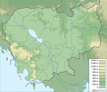 Phnom Dei Location of Phnom Dei in Cambodia | |
| Location |
Phnom Srok District, Siem Reap Province, Cambodia |
| Geology | |
| Mountain type | Sandstone |
| Climbing | |
| Easiest route | Drive to Banteay Srei, then hike |
Phnom Dei is a 272 m high hill close to Siem Reap, Cambodia.
Location
Phnom Dei is located to the southwest of the Banteay Srei, one of the major Angkorian temples, and south of Phnom Kulen. It is part of the temple complex in Angkor, the area that was the capital of the Khmer Empire.
Angkorian temple
There is a temple on top of the hill that was built during the reign of King Yasovarman I (889-910 AD).[2]:65 [3]
Phnom Dei is only one of the hilltop temples built during King Yasovarman I's reign, the others being Phnom Bakheng, Phnom Bok and Phnom Krom.
References
- ↑ Google Earth
- ↑ Higham, C., 2001, The Civilization of Angkor, London: Weidenfeld & Nicolson, ISBN 9781842125847
- ↑ Angkor Guide
External links
- Mercury diagram
- Nick Ray, Cambodia
This article is issued from Wikipedia - version of the 6/2/2016. The text is available under the Creative Commons Attribution/Share Alike but additional terms may apply for the media files.