Pian Camuno
| Pian Camuno Plà | |
|---|---|
| Comune | |
| Comune di Pian Camuno | |
|
Pian Camuno | |
 Pian Camuno Location of Pian Camuno in Italy | |
| Coordinates: 45°50′41″N 10°9′7″E / 45.84472°N 10.15194°ECoordinates: 45°50′41″N 10°9′7″E / 45.84472°N 10.15194°E | |
| Country | Italy |
| Region | Lombardy |
| Province / Metropolitan city | Province of Brescia (BS) |
| Frazioni | Beata, Solato, Vissone, Montecampione |
| Area | |
| • Total | 11 km2 (4 sq mi) |
| Elevation | 244 m (801 ft) |
| Population (30-4-2011)[1] | |
| • Total | 4,413 |
| • Density | 400/km2 (1,000/sq mi) |
| Demonym(s) | Piancamunesi |
| Time zone | CET (UTC+1) |
| • Summer (DST) | CEST (UTC+2) |
| Postal code | 25050 |
| Dialing code | 0364 |
| Patron saint | Sant'Antonio Abate |
| Website | Official website |

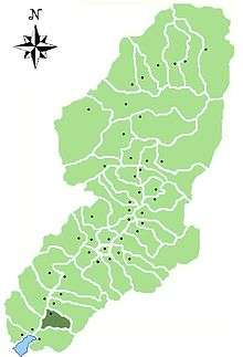
Location of Pian Camuno in Val Camonica
Pian Camuno (Plà in camunian dialect) is a comune in the province of Brescia, in Lombardy. It is situated in the lower part of Val Camonica.
References

This article is issued from Wikipedia - version of the 5/31/2015. The text is available under the Creative Commons Attribution/Share Alike but additional terms may apply for the media files.