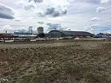
Presidente Carlos Ibáñez del Campo International Airport
| Presidente Carlos Ibáñez International Airport Aeropuerto Internacional Presidente Carlos Ibáñez | |||||||||||||||||||
|---|---|---|---|---|---|---|---|---|---|---|---|---|---|---|---|---|---|---|---|
 | |||||||||||||||||||
| IATA: PUQ – ICAO: SCCI | |||||||||||||||||||
| Summary | |||||||||||||||||||
| Airport type | Public / Military | ||||||||||||||||||
| Serves | Punta Arenas, Chile | ||||||||||||||||||
| Elevation AMSL | 139 ft / 42 m | ||||||||||||||||||
| Coordinates | 53°00′09″S 070°51′16″W / 53.00250°S 70.85444°WCoordinates: 53°00′09″S 070°51′16″W / 53.00250°S 70.85444°W | ||||||||||||||||||
| Map | |||||||||||||||||||
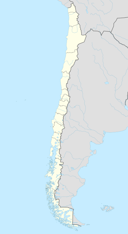 PUQ Location of airport in Chile | |||||||||||||||||||
| Runways | |||||||||||||||||||
| |||||||||||||||||||
Presidente Carlos Ibáñez International Airport (Spanish: Aeropuerto Internacional Presidente Carlos Ibáñez) (IATA: PUQ, ICAO: SCCI) is an airport serving the city of Punta Arenas in southern Chile in the Patagonia region of South America. Because of high amounts of tourism, it handles a large number of passengers per year. The airport is shared with the Chilean Air Force.
Commercial facilities include: paid parking area, cargo facility, and a 3-gate passenger terminal.
The terminal has 2 luggage belts, several vendors and small stores, a cyber-café, a restaurant on the second level and in the boarding area, and 11 check-in counters.
Airlines and destinations
| Airlines | Destinations |
|---|---|
| Aerovías DAP | Balmaceda, El Calafate, Porvenir, Puerto Natales, Puerto Williams, Ushuaia |
| LATAM Chile | Mount Pleasant, Puerto Montt, Rio Gallegos, Santiago de Chile Seasonal: Ushuaia |
| Sky Airline | Balmaceda, Concepcion, Puerto Montt, Santiago de Chile |
References
- ↑ Airport information for SCCI at World Aero Data. Data current as of October 2006.Source: DAFIF.
- ↑ Airport information for PUQ at Great Circle Mapper. Source: DAFIF (effective October 2006).
External links
- Official website (Spanish)
- "Presidente Carlos Ibáñez del Campo (SCCI)" (PDF). from AIP Chile
- Aeropuerto Pdte. Carlos Ibáñez del Campo (SCCI) (Spanish)
- Current weather for SCCI at NOAA/NWS
- Accident history for PUQ at Aviation Safety Network
This article is issued from Wikipedia - version of the 11/27/2016. The text is available under the Creative Commons Attribution/Share Alike but additional terms may apply for the media files.