Prievaly
| Prievaly | |
| Village | |
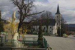 Saint Michael's church, Prievaly | |
| Country | Slovakia |
|---|---|
| Region | Trnava |
| District | Senica |
| Elevation | 250 m (820 ft) |
| Coordinates | SK 48°34′N 17°21′E / 48.567°N 17.350°ECoordinates: SK 48°34′N 17°21′E / 48.567°N 17.350°E |
| Area | 15 km2 (5.79 sq mi) |
| Population | 922 (2005-12-31) |
| Density | 61/km2 (158/sq mi) |
| First mentioned | 1439 |
| Postal code | 906 34 |
| Area code | +421-34 |
| Car plate | SE |
  Location of Prievaly in Slovakia | |
  Location of Prievaly in the Trnava Region | |
| Statistics: MOŠ/MIS | |
Prievaly is a village and municipality in Senica District in the Trnava Region of western Slovakia.
History
In historical records the village was first mentioned in 1439.
Geography
The municipality lies at an altitude of 250 metres and covers an area of 15.007 km2. It has a population of about 906 people.

Prievaly as seen from Ostrý Kameň Castle with Buková reservoir in the foreground
External links
Municipalities of Senica District | ||
|---|---|---|
This article is issued from Wikipedia - version of the 5/26/2014. The text is available under the Creative Commons Attribution/Share Alike but additional terms may apply for the media files.