Puerto Cisnes
| Puerto Cisnes | |
|---|---|
| Town | |
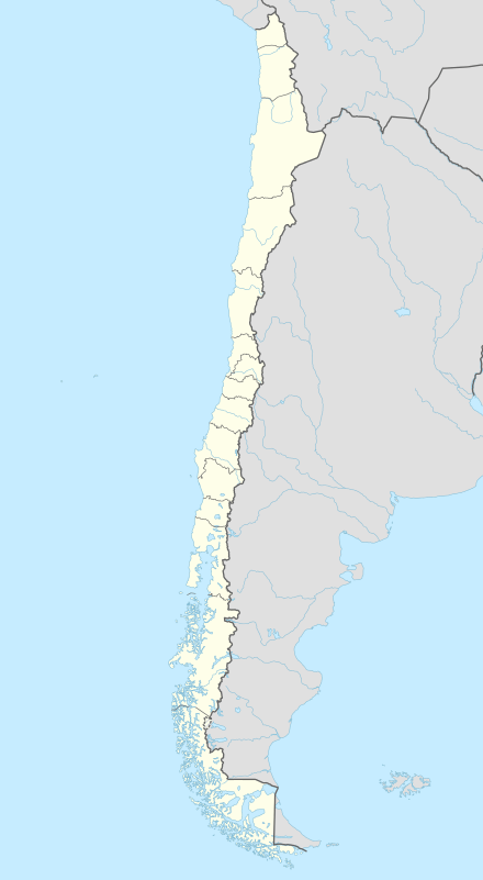 Puerto Cisnes Location in Chile | |
| Coordinates: 44°45′S 72°42′W / 44.750°S 72.700°WCoordinates: 44°45′S 72°42′W / 44.750°S 72.700°W | |
| Country | Chile |
| Region | Aisén |
| Province | Aisén |
| Commune | Cisnes |
| Area | |
| • Total | 16,093 km2 (6,214 sq mi) |
| Population (2002 Census)[1] | |
| • Total | 5,739 |
| • Density | 0.36/km2 (0.92/sq mi) |
| Area code(s) | 56 + ? |
| Climate | Cfb |
Puerto Cisnes (Spanish for: "port swans") is a town and seaport in Cisnes commune, Aysén Province, Aysén del General Carlos Ibáñez del Campo Region in the Chilean Patagonia. The town is located at the outflow of Cisnes River.
The town is located in the northwestern portion of the Aysén del General Carlos Ibáñez del Campo Region, an area that includes numerous islands, fjords and channels. The major island is Magdalena Island, which contains the national park that bears its name. Queulat National Park straddles the border between this commune and Lago Verde. Much of the commune area is covered with a lush vegetation and is divided by the Moraleda Channel. The main mountain of the area is Melimoyu volcano.
References
- ↑ "National Institute of Statistics" (in Spanish). Retrieved 28 July 2010.
This article is issued from Wikipedia - version of the 6/16/2016. The text is available under the Creative Commons Attribution/Share Alike but additional terms may apply for the media files.