Kedgwick, New Brunswick
| Kedgwick | ||
|---|---|---|
| Village | ||
| ||
| Motto: "Soutiens Par Ta Richesse Leur Courage" | ||
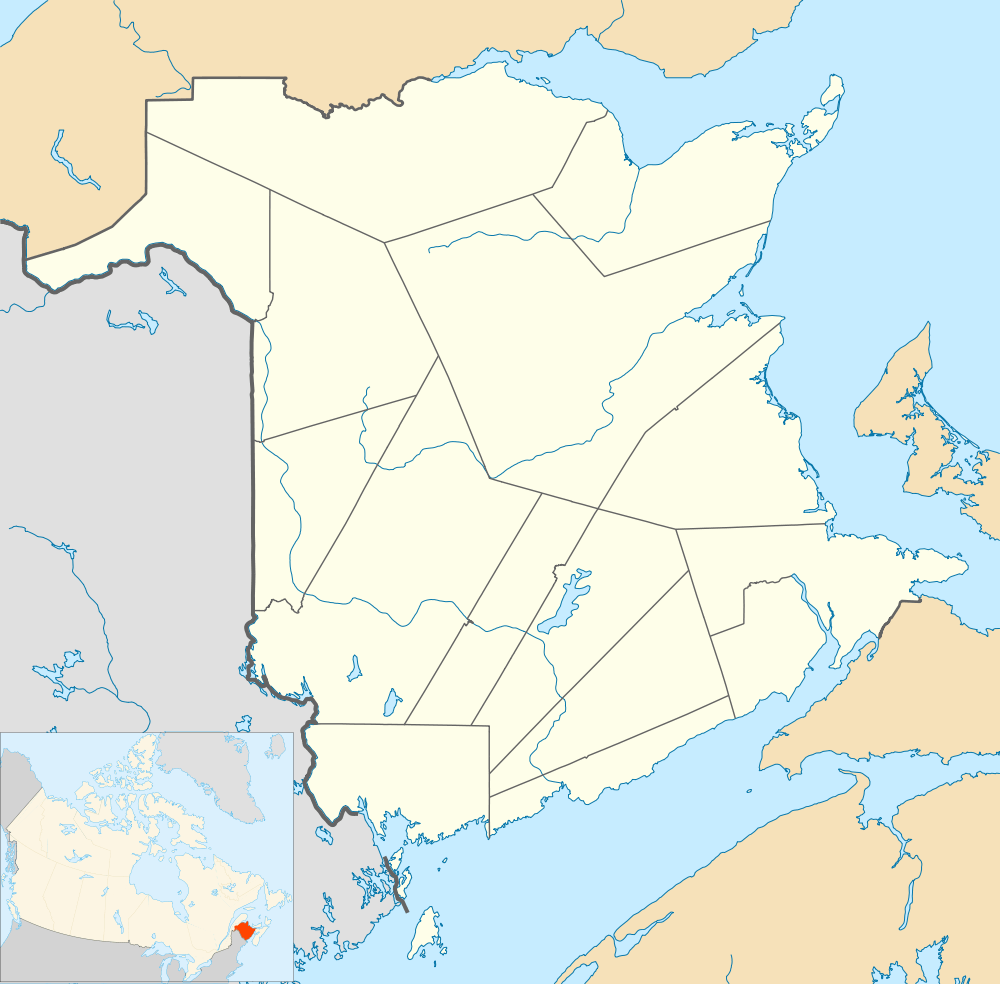
 Kedgwick Location within New Brunswick. | ||
| Coordinates: 47°39′N 67°20′W / 47.65°N 67.34°W | ||
| Country |
| |
| Province |
| |
| County | Restigouche | |
| Parish | Grimmer | |
| Village Status | 1966 | |
| Village | 2011 | |
| Electoral Districts Federal |
Madawaska—Restigouche | |
| Provincial | Restigouche-La-Vallée | |
| Government[1] | ||
| • Type | Kedgwick Village Council | |
| • Mayor | Jean-Paul Savoie | |
| • Councillors |
List of Members
| |
| Area[2] | ||
| • Total | 4.28 km2 (1.65 sq mi) | |
| Population (2011)[2] | ||
| • Total | 993 | |
| • Density | 232.2/km2 (601/sq mi) | |
| • Pop 2006-2011 |
| |
| • Dwellings | 483 | |
| Time zone | AST (UTC-4) | |
| • Summer (DST) | ADT (UTC-3) | |
| Postal code(s) | E8B | |
| Area code(s) | 506 | |
| Highways |
| |
Kedgwick is a Canadian rural community in Restigouche County, New Brunswick. Originally a local improvement district, then an incorporated village, Kedgwick became a rural community in 2012 when it amalgamated with the surrounding parish of Grimmer.[3]
Geography
Located in the Appalachian Mountains in the western part of the county, Kedgwick is approximately 75 kilometres southwest of Campbellton and 15 kilometres east of the Restigouche River along Route 17.
Being surrounded by woods, Kedgwick is spectacular during the Fall season. Every autumn the population celebrates it with the "Festival d'Automne" (Fall fest).[4]
Neighbourhoods
In July 2012, all of Grimmer parish was incorporated into the community of Kedgwick forming the village of Kedgwick.
History
On July 1, 2012, the village and the Local Service District of Grimmer merged to form the Rural Community of Kedgwick.[3]
Forestry is the major industry in the area.[5]
Demographics
PopulationPopulation trend[6]
|
LanguageMother tongue language (2006)[7]
|
Climate
| Climate data for Kedgwick (1981−2010) | |||||||||||||
|---|---|---|---|---|---|---|---|---|---|---|---|---|---|
| Month | Jan | Feb | Mar | Apr | May | Jun | Jul | Aug | Sep | Oct | Nov | Dec | Year |
| Record high °C (°F) | 12.5 (54.5) |
13.5 (56.3) |
16.5 (61.7) |
24.0 (75.2) |
33.0 (91.4) |
33.9 (93) |
33.3 (91.9) |
36.7 (98.1) |
31.1 (88) |
25.6 (78.1) |
18.3 (64.9) |
12.8 (55) |
36.7 (98.1) |
| Average high °C (°F) | −9.5 (14.9) |
−6.5 (20.3) |
0.3 (32.5) |
7.7 (45.9) |
15.8 (60.4) |
20.7 (69.3) |
23.4 (74.1) |
22.5 (72.5) |
17.1 (62.8) |
9.8 (49.6) |
1.5 (34.7) |
−5.9 (21.4) |
8.1 (46.6) |
| Daily mean °C (°F) | −15 (5) |
−12.5 (9.5) |
−5.9 (21.4) |
2.1 (35.8) |
9.0 (48.2) |
14.0 (57.2) |
16.9 (62.4) |
15.8 (60.4) |
10.5 (50.9) |
4.5 (40.1) |
−2.4 (27.7) |
−10.7 (12.7) |
2.2 (36) |
| Average low °C (°F) | −20.4 (−4.7) |
−18.5 (−1.3) |
−12.0 (10.4) |
−3.5 (25.7) |
2.2 (36) |
7.2 (45) |
10.3 (50.5) |
9.1 (48.4) |
3.9 (39) |
−0.7 (30.7) |
−6.4 (20.5) |
−15.4 (4.3) |
−3.7 (25.3) |
| Record low °C (°F) | −41.7 (−43.1) |
−43.9 (−47) |
−38.3 (−36.9) |
−27.8 (−18) |
−15.0 (5) |
−6.7 (19.9) |
−2.2 (28) |
−3.9 (25) |
−10.0 (14) |
−14.4 (6.1) |
−32.2 (−26) |
−41.1 (−42) |
−43.9 (−47) |
| Average precipitation mm (inches) | 72.4 (2.85) |
59.1 (2.327) |
49.8 (1.961) |
61.3 (2.413) |
84.1 (3.311) |
106.0 (4.173) |
122.4 (4.819) |
103.4 (4.071) |
85.6 (3.37) |
95.4 (3.756) |
80.1 (3.154) |
73.0 (2.874) |
992.5 (39.075) |
| Average rainfall mm (inches) | 11.5 (0.453) |
2.6 (0.102) |
9.4 (0.37) |
41.5 (1.634) |
83.4 (3.283) |
106.0 (4.173) |
122.4 (4.819) |
103.4 (4.071) |
85.6 (3.37) |
93.8 (3.693) |
51.5 (2.028) |
20.8 (0.819) |
731.9 (28.815) |
| Average snowfall cm (inches) | 60.9 (23.98) |
56.5 (22.24) |
40.3 (15.87) |
19.9 (7.83) |
0.7 (0.28) |
0.0 (0) |
0.0 (0) |
0.0 (0) |
0.0 (0) |
1.6 (0.63) |
28.6 (11.26) |
52.2 (20.55) |
260.7 (102.64) |
| Average precipitation days (≥ 0.2 mm) | 10.6 | 8.6 | 7.7 | 10.2 | 14.6 | 15.3 | 15.6 | 14.7 | 13.2 | 12.4 | 11.5 | 10.4 | 144.7 |
| Average rainy days (≥ 0.2 mm) | 1.8 | 1.1 | 2.2 | 7.3 | 14.5 | 15.3 | 15.6 | 14.7 | 13.2 | 12.1 | 6.9 | 2.5 | 107.1 |
| Average snowy days (≥ 0.2 cm) | 9.3 | 7.9 | 6.3 | 3.6 | 0.5 | 0.0 | 0.0 | 0.0 | 0.0 | 0.75 | 5.4 | 8.7 | 42.5 |
| Source: Environment Canada[8] | |||||||||||||
Notable people
See also
References
- ↑ Government of New Brunswick website: Kedgwick
- 1 2 2011 Statistics Canada Census Profile: Kedgwick, New Brunswick
- 1 2 "Rural Community of Kedgwick Regulation - Municipalities Act". Attorney General. Province of New Brunswick. December 15, 2015. Retrieved 5 January 2016.
- ↑ Festival d'Automne
- ↑ Kedgwick Forestry Museum
- ↑ Statistics Canada: 1996, 2001, 2006, 2011 census
- ↑ 2006 Statistics Canada Community Profile: Kedgwick, New Brunswick
- ↑ "Kedgwick, New Brunswick". Canadian Climate Normals 1981–2010. Environment Canada. Retrieved 31 March 2015.
External links
- Canadian Encyclopedia. History
- Kedgwick.ca
- www.festivaldautomne.com
- Village et musée forestier.ca
 |
Rang-Double-Nord | Rang-Sept | Whites Brook |  |
| |
||||
| ||||
| | ||||
| Rang-Double-Sud | Thibault |
Coordinates: 47°38′44″N 67°20′35″W / 47.64556°N 67.34306°W
