RAF Tuddenham
| RAF Tuddenham | |||||||||||||||||||
|---|---|---|---|---|---|---|---|---|---|---|---|---|---|---|---|---|---|---|---|
| IATA: none – ICAO: none | |||||||||||||||||||
| Summary | |||||||||||||||||||
| Airport type | Military | ||||||||||||||||||
| Owner | Air Ministry | ||||||||||||||||||
| Operator | Royal Air Force | ||||||||||||||||||
| Location | Tuddenham, Suffolk | ||||||||||||||||||
| Built | 1941 | ||||||||||||||||||
| In use |
1941-1947 1959-1963 | ||||||||||||||||||
| Elevation AMSL | 62 ft / 19 m | ||||||||||||||||||
| Coordinates | 52°18′38″N 000°34′30″E / 52.31056°N 0.57500°ECoordinates: 52°18′38″N 000°34′30″E / 52.31056°N 0.57500°E | ||||||||||||||||||
| Map | |||||||||||||||||||
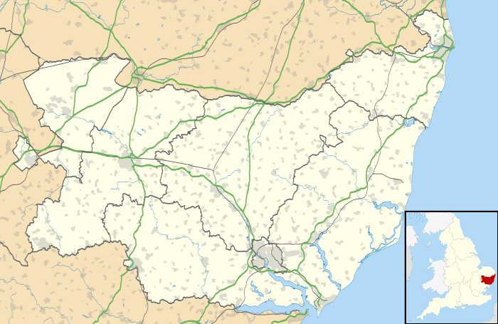 RAF Tuddenham Location in Suffolk | |||||||||||||||||||
| Runways | |||||||||||||||||||
| |||||||||||||||||||
Royal Air Force Station Tuddenham or RAF Tuddenham is a former Royal Air Force station located 3.2 miles (5.1 km) south east of Mildenhall, Suffolk, England and 7.8 miles (12.6 km) north west of Bury St Edmunds, Suffolk.
Station history
- No. 3 Lancaster Finishing School.[1]
- No. 90 Squadron RAF starting on 13 October 1943 with the Short Stirling III before changing to the Avro Lancaster I and III in May 1944 and leaving on 11 November 1946 to RAF Wyton.[2]
- No. 138 Squadron RAF between 9 March 1945 and 12 November 1946 with the Avro Lancaster I and III before moving to RAF Wyton.[3]
- No. 149 Squadron RAF between 29 April 1946 and 4 November 1946 with the Avro Lancaster I and III.[4]
- No. 186 Squadron RAF reformed at RAF Tuddenham on 1 October 1944 with the Lancaster I and III before moving to RAF Stradishall on 17 December 1945 where the squadron disbanded on 17 July 1945.[5]
- No. 207 Squadron RAF used the airfield between 29 April 1946 and 8 November 1946 with the Lancaster I and III.[6]
- No. 281 Maintenance Unit.[1]
Post war
- No. 107 Squadron RAF - PGM-17 Thor nuclear missiles.[7]
Current use
The site is now used for farming[1] and Gunman Airsoft.
See also
References
Citations
- 1 2 3 "Tuddenham". Airfields of Britain Conservation Trust. Retrieved 30 June 2012.
- ↑ Jefford 1988, p. 52.
- ↑ Jefford 1988, p. 60.
- ↑ Jefford 1988, p. 62.
- ↑ Jefford 1988, p. 66.
- ↑ Jefford 1988, p. 69.
- ↑ "Bomber Command - Tuddenham". Royal Air Force. Retrieved 30 June 2012.
Bibliography
- Jefford MBE, Wg Cdr C G (1988). RAF Squadrons. A comprehensive record of the movement and equipment of all RAF squadrons and their antecedents since 1912. Shrewsbury: Airlife. ISBN 1-85310-053-6.
External links
| Wikimedia Commons has media related to RAF Tuddenham. |
Royal Air Force portal | ||
| Formations and units |  | |
| Branches and components | ||
| Reserve forces | ||
| Associated civil organizations | ||
| Equipment | ||
| Personnel | ||
| Appointments | ||
| Symbols and uniform | ||
This article is issued from Wikipedia - version of the 5/23/2014. The text is available under the Creative Commons Attribution/Share Alike but additional terms may apply for the media files.