Ringarooma
| Ringarooma Tasmania | |
|---|---|
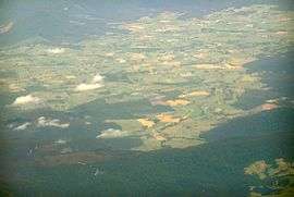 Area surrounding Ringarooma which is right of centre | |
 Ringarooma | |
| Coordinates | 41°15′S 147°44′E / 41.250°S 147.733°ECoordinates: 41°15′S 147°44′E / 41.250°S 147.733°E |
| Population | 214 (2006 census)[1] |
| Established | 1882 |
| Postcode(s) | 7263 |
| Elevation | 283 m (928 ft) |
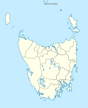
| Location |
|
| LGA(s) | Dorset Council |
| State electorate(s) | Bass |
| Federal Division(s) | Bass |
Ringarooma is a small town in north-eastern Tasmania. The district was opened up to farming in the 1860s, and the town itself was founded in 1882 when a rural property was subdivided into lots by landowner Christopher Krushka. It was initially known as Krushka Town before being renamed Ringarooma in November 1888, taking on the name of a coastal town near Bridport, which was renamed Boobyalla.[2]
Today, Ringarooma is a small town surrounded by farming country near mountains such as Mount Victoria and Ben Lomond.
Ringarooma Post Office opened on 1 October 1874.[3]
References
- ↑ Australian Bureau of Statistics (25 October 2007). "Ringarooma (L) (Urban Centre/Locality)". 2006 Census QuickStats. Retrieved 2008-12-07.
- ↑ Beswick, Dorothy (1988). As The River Flows, Mount Victoria to Boobyalla. Ringarooma Council. ISBN 0-7316-1966-8.
- ↑ Premier Postal History. "Post Office List". Premier Postal Auctions. Retrieved 16 June 2012.
This article is issued from Wikipedia - version of the 10/21/2016. The text is available under the Creative Commons Attribution/Share Alike but additional terms may apply for the media files.