River Frome, Stroud
| River Frome | |
 River Frome near Ebley Mill | |
| Country | England |
|---|---|
| Counties | Gloucestershire |
| Mouth | |
| - location | River Severn |
| - coordinates | 51°47′34″N 2°21′41″W / 51.7927°N 2.3613°WCoordinates: 51°47′34″N 2°21′41″W / 51.7927°N 2.3613°W |
| Length | 40 km (25 mi) |
| Discharge | for Ebley Mill |
| - average | 2.6 m3/s (92 cu ft/s) |
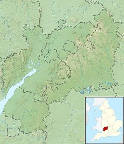 Location within Gloucestershire | |
The River Frome, once also known as the Stroudwater,[1] is a small river in Gloucestershire, England. It is to be distinguished from another River Frome in Gloucestershire, the Bristol Frome, and the nearby River Frome, Herefordshire. The river is approximately 25 miles (40 km) long.[2][3]
Course
The Stroud Frome rises from several springs at Nettleton, about a mile south east of Birdlip[4] and in springs at Climperwell Farm (SW of Brimsfield). The two branches join together in Miserden Park just south of Caudle Green. The river is recognised as the "Frome" at Caudle Green, Syde, (north of Miserden). The Frome continues to meander its way south to Sapperton, then west towards Stroud. The river flows through Stroud continuing north west through Ebley and Stonehouse where it goes under the M5, then on to Saul where it enters the River Severn at Upper Framilode.[5]
At Caudle Green the eastern side of the valley rises to the North sea/Atlantic watershed, approximately one mile to the east. The Frome basin shares a length of this watershed feeding into the River Thames to the east (via the River Churn) and the Severn to the West (via the Frome)
Stroudwater Canal
From Sapperton the River Frome runs adjacent to the Stroudwater Canal which is now disused, although undergoing repairs. The Stroudwater Canal, fed by the Frome, was an important and essential part of Stroud's growth as a town. The canal was a thriving thoroughfare for trade, putting Stroud on the map, during the industrial revolution.[1] At Stonehouse the River was part of a novel, ill-fated, scheme by John Kemmett and others, in the 1760s, to create a canal without locks. Goods would be carried on boats in containers, each capable of holding about one ton, and the containers would be transferred from one level to the next by cranes erected wherever there was a mill weir. The scheme proved to be too costly, and was abandoned after about 5 miles (8 km) of river had been improved.[6]
Golden Valley
The valley from Chalford to Stroud, known as the Golden Valley is one of the Stroud Five Valleys; it carries the railway line and the Thames and Severn Canal to the Sapperton Tunnels under the Cotswolds. There are several nature reserves in the Sapperton Valley by the River Frome and the canal.
References
- 1 2 Stroud in Victoria County History of Gloucestershire
- ↑ "Frome - Source to Ebley Mill". Catchment Data Explorer. Environment Agency. Retrieved 20 April 2016.
- ↑ "Frome - Ebley Mill to conf R Severn". Catchment Data Explorer. Environment Agency. Retrieved 20 April 2016.
- ↑ Source - Nettleton springs 51°49′12″N 2°04′59″W / 51.820°N 2.083°W
- ↑ Mouth - Upper Framilode 51°47′34″N 2°21′41″W / 51.7927°N 2.3613°W
- ↑ Hadfield 1969, pp. 296-297.
Bibliography
- Hadfield, Charles (1969). The Canals of South and South East England. David and Charles. ISBN 0-7153-4693-8.
External links
| Wikimedia Commons has media related to River Frome, Stroud. |