Romanivka, Bereznehuvate Raion
| Romanivka Романівка (Ukrainian) Романовка (Russian) | |
|---|---|
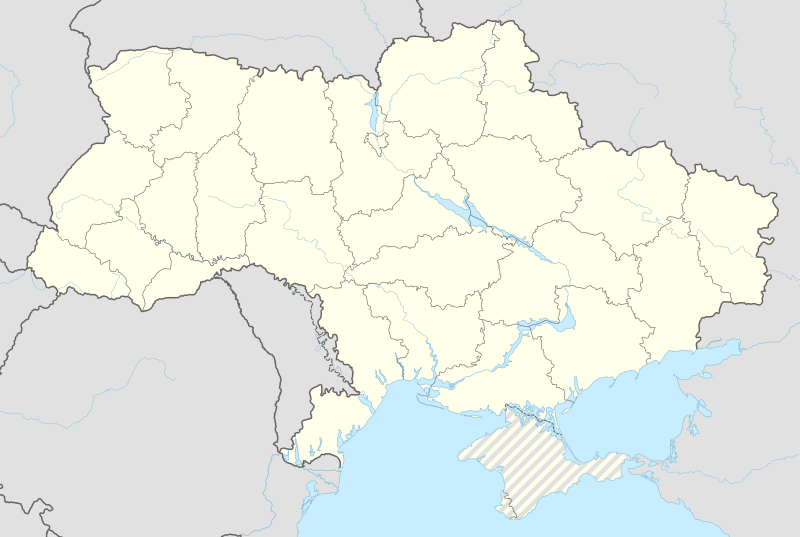 Romanivka Map of Ukraine with Romanivka highlighted | |
| Coordinates: 47°26′07″N 32°56′41″E / 47.43528°N 32.94472°ECoordinates: 47°26′07″N 32°56′41″E / 47.43528°N 32.94472°E | |
| Country |
|
| Region | Mykolaiv Oblast |
| Raion | Bereznehuvate Raion |
| Administrative Classification | KOATUU: 4821186060 |
| Founded | 1841 |
| Area | |
| • Total | 0.462 km2 (0.178 sq mi) |
| Elevation | 41 m (135 ft) |
| Population (2001) | |
| • Total | 188 |
| • Density | 406.93/km2 (1,053.9/sq mi) |
| Time zone | EET (UTC+2) |
| • Summer (DST) | EEST (UTC+3) |
| Postal code | 56221 |
| Area code(s) | +380 5168 |
| Website | |
Romanivka (Ukrainian: Рома́нівка Russian: Романовка) - is a village in Ukraine. It is part of the Bereznehuvate Raion of the Mykolaiv Oblast.
Romanivka is the site of an ancient mega-settlement dating to 3600 - 3200 B.C. belonging to the Cucuteni-Trypillian culture. The settlement was for the time very large, covering an area of 100 hectares. This proto-city are just one of 2440 Cucuteni-Trypillia settlements discovered so far in Moldova and Ukraine. 194 (8%) of these settlements had an area of more than 10 hectares between 5000 - 2700 B.C. and more than 29 settlements had an area in the range 100 - 300 - 450 Hectares.[1]
History
Romanivka was formed after a merger of Big Romanivka and Little Romanivka . It is and always was a predominantly Jewish settlement. Around 1886, many Jews of Kherson moved here. At that time, Romanivka had a population of 1476. The town was made up of 83 households and four synagogues and Jewish schools.
References
| Raions | |||||||
|---|---|---|---|---|---|---|---|
| Cities |
| ||||||
| |||||||