Rousdon
| Rousdon | |
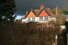 Combpyne Rousdon, house at Rousdon |
|
 Rousdon |
|
| OS grid reference | SY294912 |
|---|---|
| Civil parish | Combpyne Rousdon |
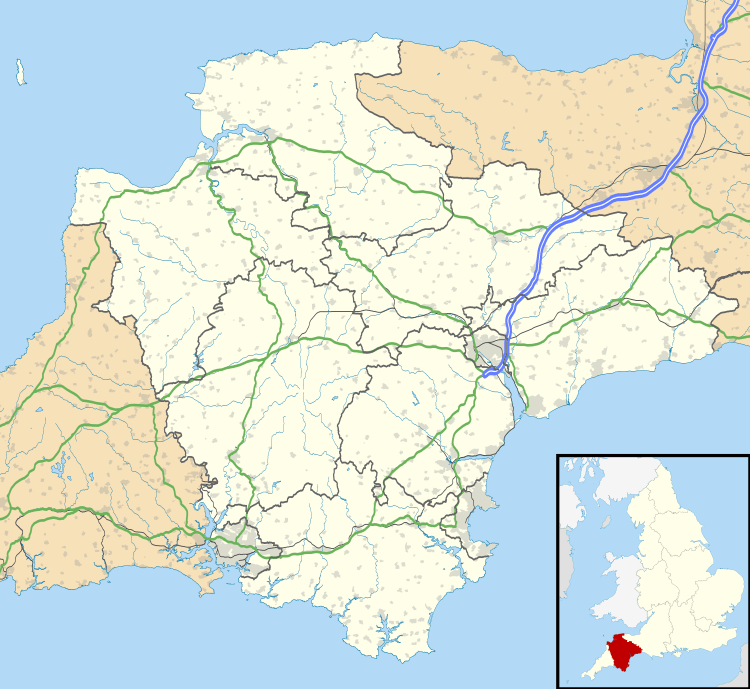
| Shire county | Devon |
| Region | South West |
| Country | England |
| Sovereign state | United Kingdom |
| Post town | LYME REGIS |
| Postcode district | DT7 |
| Police | Devon and Cornwall |
| Fire | Devon and Somerset |
| Ambulance | South Western |
| EU Parliament | South West England |
| UK Parliament | East Devon |
Coordinates: 50°43′00″N 2°59′55″W / 50.71671°N 2.99868°W
Rousdon is a village in East Devon off the A3052 road between Colyford and Lyme Regis in Dorset.
The small village developed around the Mansion of the Peek family in the early 19th century. A boarding school called Allhallows moved there from Honiton in 1937 and closed in 1998.
Immediately to the south are the coastal cliffs and The Undercliff wilderness area that resulted from a landslip in 1839. The South West Coast Path is the only route through it and there is no public right of way from Rousdon to that path.
History
The parish and manor were anciently known over time as: Dona (per the Domesday Book of 1086), Dune, la Dune, Doune, Rawesdon, Doune Rauf, Doune Rafe, Downraff, Rowston in Axmouth, Rowston alias Downe Ralfe, Rowsedown, etc. The Devon historian Risdon called it Rowsedown, whilst his contemporary Pole called it Doune Raph.
External links
![]() Media related to Rousdon at Wikimedia Commons
Media related to Rousdon at Wikimedia Commons