Rushbrooke with Rougham
| Rushbrooke with Rougham | |
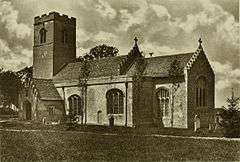
 Rushbrooke Parish Church photograph in 1903 |
|
 Rushbrooke with Rougham |
|
| Population | 1,140 (2005)[1] 1,200 (2011)[2] |
|---|---|
| District | St Edmundsbury |
| Shire county | Suffolk |
| Region | East |
| Country | England |
| Sovereign state | United Kingdom |
| Post town | Bury St Edmunds |
| Postcode district | IP30 |
| Police | Suffolk |
| Fire | Suffolk |
| Ambulance | East of England |
| EU Parliament | East of England |
Coordinates: 52°13′48″N 0°47′17″E / 52.230°N 0.788°E
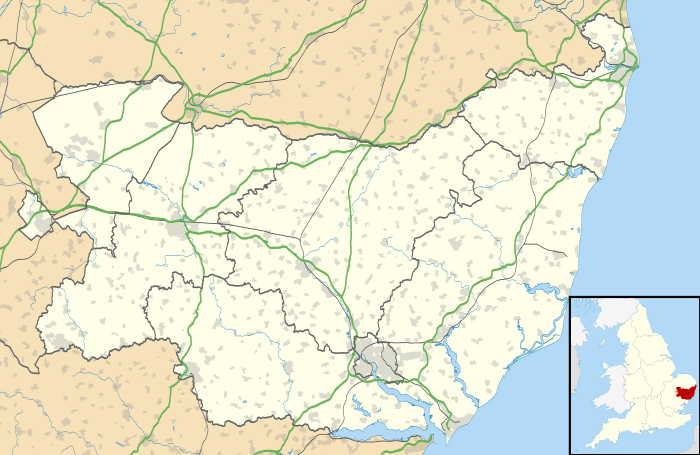
Rushbrooke with Rougham is a large civil parish in the St Edmundsbury district of Suffolk in eastern England covering the villages of Blackthorpe, Rougham and Rushbrooke as well as Rougham Airfield. Located directly south-east of Bury St Edmunds, in 2005 its population was 1,140.[1] One 'Henry of Rushbrook' was Abbot of Bury St Edmunds from 1235 to 1248. The site of a former stately home, Rushbrooke Hall, is situated to the south of Rushbrooke.
References
- 1 2 Estimates of Total Population of Areas in Suffolk Suffolk County Council
- ↑ "Civil Parish population 2011". Neighbourhood Statistics. Office for National Statistics. Retrieved 27 August 2016.
External links
 Media related to Rushbrooke with Rougham at Wikimedia Commons
This article is issued from Wikipedia - version of the 8/27/2016. The text is available under the Creative Commons Attribution/Share Alike but additional terms may apply for the media files.