Saint-Édouard-de-Maskinongé, Quebec
| Saint-Édouard-de-Maskinongé | |
|---|---|
| Municipality | |
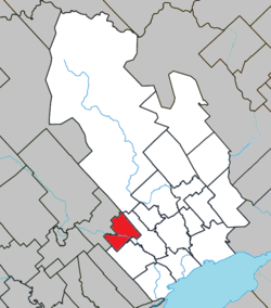 Location within Maskinongé RCM. | |
 Saint-Édouard-de-Maskinongé Location in central Quebec. | |
| Coordinates: 46°20′N 73°09′W / 46.333°N 73.150°WCoordinates: 46°20′N 73°09′W / 46.333°N 73.150°W[1] | |
| Country |
|
| Province |
|
| Region | Mauricie |
| RCM | Maskinongé |
| Constituted | January 1, 1950 |
| Government[2] | |
| • Mayor | Denis Morin |
| • Federal riding | Berthier—Maskinongé |
| • Prov. riding | Maskinongé |
| Area[2][3] | |
| • Total | 53.90 km2 (20.81 sq mi) |
| • Land | 52.85 km2 (20.41 sq mi) |
| Population (2011)[3] | |
| • Total | 774 |
| • Density | 14.6/km2 (38/sq mi) |
| • Pop 2006-2011 |
|
| • Dwellings | 399 |
| Time zone | EST (UTC−5) |
| • Summer (DST) | EDT (UTC−4) |
| Postal code(s) | J0K 2H0 |
| Area code(s) | 819 |
| Highways |
|
Saint-Édouard-de-Maskinongé is a municipality in the Mauricie region of the province of Quebec in Canada.
References
 |
Saint-Alexis-des-Monts | | ||
| Saint-Didace | |
Sainte-Ursule | ||
| ||||
| | ||||
| Saint-Justin |
| Cities & towns | |
|---|---|
| Municipalities | |
| Parishes | |
This article is issued from Wikipedia - version of the 4/21/2013. The text is available under the Creative Commons Attribution/Share Alike but additional terms may apply for the media files.