San José Airport (Guatemala)
This article is about the airport at Puerto de San José, Escuintla in Guatemala. For other airports, see San Jose Airport (disambiguation).
| San José Airport | |||||||||||
|---|---|---|---|---|---|---|---|---|---|---|---|
| IATA: GSJ – ICAO: MGSJ | |||||||||||
| Summary | |||||||||||
| Airport type | Military/Public | ||||||||||
| Operator | Dirección General de Aeronáutica Civil | ||||||||||
| Location | Puerto San José | ||||||||||
| Elevation AMSL | 29 ft / 9 m | ||||||||||
| Coordinates | 13°56′10″N 90°50′09″W / 13.93611°N 90.83583°WCoordinates: 13°56′10″N 90°50′09″W / 13.93611°N 90.83583°W | ||||||||||
| Map | |||||||||||
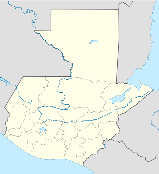
 MGSJ Location in Guatemala | |||||||||||
| Runways | |||||||||||
| |||||||||||
San José Airport (IATA: GSJ, ICAO: MGSJ) (Aeropuerto de Puerto San José, Escuintla) serves the city of Puerto San José, the recreative town of Monterrico, the port of Puerto Quetzal and the eastern Guatemalan Pacific coast. It is operated and administrated by DGAC - Dirección General de Aeronáutica Civil de Guatemala. San José Airport is in the western part of the city of Puerto San José, near the Pacific coast.
Facilities
The airport has been recently refurbished and reopened in September 2007, as part of a nationwide airport rehabilitation program. Improvements include:
- a newly built 2,500 m2 (27,000 sq ft) terminal building with car park[4]
- a newly built tower
- newly asphalted an amplified runway with illumination and signage
As at 5 December 2008 there is no new control tower nor is there runway or approach lighting.
The San Jose VOR-DME (Ident: SJO) is located on the field.[5][6]
Airlines
- Transportes Aéreos Guatemaltecos (charter flights).[7]
- Air Venture Tours (charter flights only)
- The airport serves as Guatemala City's La Aurora International Airport diversion airport if La Aurora has bad weather.[8]
References
- ↑ Airport information for MGSJ at Great Circle Mapper.
- ↑ Airport information for MGSJ at World Aero Data. Data current as of October 2006.
- ↑ Google Maps - San José
- ↑ Terminal building
- ↑ SkyVector Aeronautical Charts
- ↑ SJO VOR
- ↑ Transportes Aéreos Guatemaltecos
- ↑ (Spanish) PrensaLibre.com - Sugieren un operador para seguridad aeroportuaria
External links
This article is issued from Wikipedia - version of the 12/4/2016. The text is available under the Creative Commons Attribution/Share Alike but additional terms may apply for the media files.