Santa Rosa Airport (Argentina)
| Santa Rosa Airport Aeropuerto de Santa Rosa | |||||||||||
|---|---|---|---|---|---|---|---|---|---|---|---|
| IATA: RSA – ICAO: SAZR | |||||||||||
| Summary | |||||||||||
| Airport type | Public / Military | ||||||||||
| Operator | Government and Aeropuertos Argentina 2000 | ||||||||||
| Serves | Santa Rosa, La Pampa | ||||||||||
| Location | Ruta N35, km 330. (L6300) Santa Rosa | ||||||||||
| Elevation AMSL | 630 ft / 192 m | ||||||||||
| Coordinates | 36°35′31″S 64°16′46″W / 36.59194°S 64.27944°WCoordinates: 36°35′31″S 64°16′46″W / 36.59194°S 64.27944°W | ||||||||||
| Map | |||||||||||
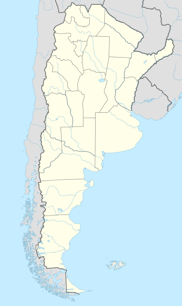 RSA Location of airport in Argentina | |||||||||||
| Runways | |||||||||||
| |||||||||||
| Statistics (2013) | |||||||||||
| |||||||||||
|
Source: DAFIF | |||||||||||
Santa Rosa Airport (Spanish: Aeropuerto de Santa Rosa) (IATA: RSA, ICAO: SAZR) is an airport in La Pampa Province, Argentina serving the city of Santa Rosa and Toay, built in 1940.
1 September 1940 was the first regular flight to Santa Rosa, in a military Junkers, en route from Buenos Aires to Esquel Airport vía Santa Rosa, Presidente Perón International Airport (in Neuquén), and San Carlos de Bariloche Airport (in Bariloche).
In 1971, the Terminal was built; 1988 the runway was re-paved and taken to its 2,300m (7,541 ft); in 1996 it was installed an ILS and new VOR, and in 1999, Aeropuertos Argentina 2000 started running it.
It was previously a destination of LADE, LAER, and Southern Winds. In 2007, 12915 passengers used Santa Rosa Airport.
Buildings
Santa Rosa Airport has 208 ha and its ICAO category is 4C.
- Runway: 69,000 m²
- Taxiway: 1,920 m²
- Platforms: 11,380 m²
- Terminal: 485 m²
- Hangars: 1,198 m²
- Parking Places: 3,750 m² (88 cars)
Airlines and destinations
| Airlines | Destinations |
|---|---|
| Aerolíneas Argentinas operated by Austral Líneas Aéreas | Buenos Aires-Aeroparque, Mar del Plata[2] |
References
- ↑ "Aumento del 4.4 por ciento en el tráfico de pasajeros en 2013". Aeropuertos Argentina 2000. 14 January 2014.
- ↑ Aerolíneas Argentinas incorporated more flights to several domestic destinations (in Spanish)