Santo Antônio do Grama
| Santo Antônio do Grama | |
|---|---|
| Municipality | |
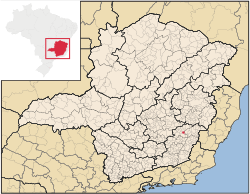 Location in Minas Gerais state | |
 Santo Antônio do Grama Location in Brazil | |
| Coordinates: 20°18′50″S 42°36′32″W / 20.31389°S 42.60889°WCoordinates: 20°18′50″S 42°36′32″W / 20.31389°S 42.60889°W | |
| Country |
|
| Region | Southeast Region |
| State | Minas Gerais |
| Mesoregion | Zona da Mata |
| Microregion | Ponte Nova |
| Area | |
| • Total | 130.21 km2 (50.27 sq mi) |
| Population (2015) | |
| • Total | 4,103 |
| • Density | 32/km2 (82/sq mi) |
| Time zone | BRT/BRST (UTC-3/-2) |
Santo Antônio do Grama is a municipality in the state of Minas Gerais in Brazil. The population is 4,103 (2015 est.) in an area of 130.21 km².[1]
References
External links
- Santo Antônio do Grama on citybrazil.com.br (Portuguese)
- Santo Antônio do Grama on Explorevale (Portuguese)
This article is issued from Wikipedia - version of the 5/2/2016. The text is available under the Creative Commons Attribution/Share Alike but additional terms may apply for the media files.