Sellingen
| Sellingen | |
|---|---|
| Village | |
|
Early gothic church in Sellingen | |
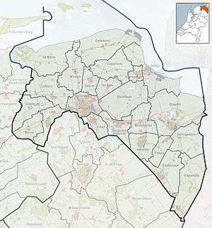 Sellingen Location in province of Groningen in the Netherlands | |
| Coordinates: 52°56′47″N 07°09′05″E / 52.94639°N 7.15139°ECoordinates: 52°56′47″N 07°09′05″E / 52.94639°N 7.15139°E | |
| Country | Netherlands |
| Province | Groningen |
| Municipality | Vlagtwedde |
| Area | |
| • Village | 29.75 km2 (11.49 sq mi) |
| • Land | 29.27 km2 (11.30 sq mi) |
| • Water | 0.48 km2 (0.19 sq mi) |
| • Urban | 0.79 km2 (0.31 sq mi) |
| Population (2006) | |
| • Village | 1,920 |
| • Density | 65/km2 (170/sq mi) |
| • Urban | 1,070 |
| • Urban density | 1,400/km2 (3,500/sq mi) |
| Time zone | CET (UTC+1) |
| • Summer (DST) | CEST (UTC+2) |
| Postal code | 9551 |

Sellingen (Dutch pronunciation: [ˈsɛlɪŋən]; Gronings: Zèlng) is a town in the Dutch province of Groningen. It is a part of the municipality of Vlagtwedde, and lies about 25 kilometres (16 mi) northeast of Emmen.
In 2006, statistical area "Sellingen", which also includes the surrounding countryside, had a population of 1920 in 820 households in an area of 29.75 square kilometres (11.49 sq mi), and the town of Sellingen had 1070 in 470 households in an area of 0.79 square kilometres (0.31 sq mi).[1][2]
References
- ↑ "Gemeente op maat 2006 - Vlagtwedde" [Community Profile 2006 - Vlagtwedde] (PDF). Statistics Netherlands. 2008. Retrieved 2011-02-10.
- ↑ "Kerncijfers wijken en buurten 2004-2010 - Sellingen" [Key indicators for towns and hamlets 2004–2010 - Sellingen]. Statline. Statistics Netherlands. 2011-02-11. Retrieved 2011-02-11.
External links
 Media related to Sellingen at Wikimedia Commons
This article is issued from Wikipedia - version of the 5/27/2016. The text is available under the Creative Commons Attribution/Share Alike but additional terms may apply for the media files.