Senouire
| Senouire | |
|---|---|
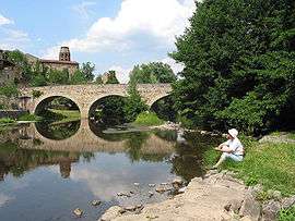 The Senouire at Lavaudieu. | |
| Country | France |
| Basin | |
| Main source |
Sembadel 1,070 m (3,510 ft) 45°17′38″N 03°42′03″E / 45.29389°N 3.70083°E |
| River mouth |
Allier 430 m (1,410 ft) 45°16′38″N 03°24′31″E / 45.27722°N 3.40861°ECoordinates: 45°16′38″N 03°24′31″E / 45.27722°N 3.40861°E |
| Progression | Allier→ Loire→ Atlantic Ocean |
| Basin size | 170 km2 (66 sq mi) |
| Physical characteristics | |
| Length | 63.2 km (39.3 mi) |
| Discharge |
|
The Senouire (French: la Senouire) is a 63.2-kilometre (39.3 mi) long river in the Haute-Loire département, south-central France. Its source is at Sembadel. It flows generally west. It is a right tributary of the Allier into which it flows between Fontannes and Vieille-Brioude, near Brioude.
Communes along its course
This list is ordered from source to mouth: Sembadel, Bonneval, La Chaise-Dieu, Malvières, La Chapelle-Geneste, Connangles, Saint-Pal-de-Senouire, La Chapelle-Bertin, Collat, Josat, Sainte-Marguerite, Mazerat-Aurouze, Paulhaguet, Salzuit, Domeyrat, Frugières-le-Pin, Lavaudieu, Fontannes, Vieille-Brioude
Notes
- This article is based on the equivalent article from the French Wikipedia, consulted on 27 April 2009.
References
| Wikimedia Commons has media related to Senouire. |
This article is issued from Wikipedia - version of the 6/11/2016. The text is available under the Creative Commons Attribution/Share Alike but additional terms may apply for the media files.