Shadoxhurst
| Shadoxhurst | |
 Shadoxhurst |
|
| Area | 8.02 km2 (3.10 sq mi) |
|---|---|
| Population | 1,216 (Civil Parish 2011)[1] |
| – density | 152/km2 (390/sq mi) |
| OS grid reference | TQ973381 |
| Civil parish | Shadoxhurst |
| District | Ashford |
| Shire county | Kent |
| Region | South East |
| Country | England |
| Sovereign state | United Kingdom |
| Post town | ASHFORD |
| Postcode district | TN26 |
| Dialling code | 01233 |
| Police | Kent |
| Fire | Kent |
| Ambulance | South East Coast |
| EU Parliament | South East England |
| UK Parliament | Ashford |
Coordinates: 51°06′29″N 0°49′10″E / 51.1080°N 0.8195°E
Shadoxhurst /ˈʃæ.dɒkshɜːrst/ is a civil parish[2] and a village on the remnant forest the Kent Weald, near Ashford in Kent, England between the Greensand Ridge and Romney Marsh.
Geography
Part of the vestige of county-sized woodland known as The Weald, Shadoxhurst is mostly wooded countryside and farmland.[3] with the Whitewater Dyke (a tributary of the River Stour) rising in the area.
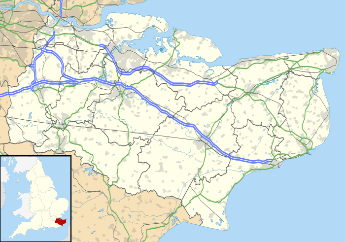
Shadoxhurst is on the Woodchurch to Ashford road.
The area ranges between approximately 40 and 50 metres above sea level.
History
A fairly comprehensive historical overview in Edward Hasted's History and Topography of Kent covers, for instance, the church and the village as well as the recorded history up to the end of the 18th century.[4]
Reverend Charles Rolfe (1800-1877), who worked as the rector of Shadoxhurst's Ss Peter and Paul Church for thirty-nine years was directly descended from John Rolfe of Heacham who married Chief Powhatan's daughter, Pocahontas on April 5, 1614 in Jamestown, Virginia.
Amenities
The village has a Church of England-used 13th-century church with lancet windows, to Saints Peter and Paul.[3]
References
External links
![]() Media related to Shadoxhurst at Wikimedia Commons
Media related to Shadoxhurst at Wikimedia Commons
 |
Bethersden | Chilmington Green | Stubbs Cross | |
| High Halden | |
Bromley Green | ||
| ||||
| | ||||
| Woodchurch | Kenardington | Hamstreet |