Sitaula
This article is about the village. For the name, see Sitaula (surname).
| Sitaula सितौला | |
|---|---|
| Village development committee | |
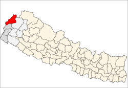
 Sitaula Location in Nepal | |
| Coordinates: 29°50′N 80°47′E / 29.84°N 80.78°ECoordinates: 29°50′N 80°47′E / 29.84°N 80.78°E | |
| Country |
|
| Zone | Mahakali Zone |
| District | Darchula District |
| Population (2011) | |
| • Total | 3,536 |
| Time zone | Nepal Time (UTC+5:45) |
Sitaula is a village development committee in Darchula District in the Mahakali Zone of western Nepal.[1] At the time of the 2011 Nepal census it had a population of 3536 people living in 557 individual households.[2]
References
- ↑ "दार्चुला जिलाक पार्श्व/चित्र" (PDF). Retrieved November 2012. Check date values in:
|access-date=(help) - ↑ "Nepal Census 2011" (PDF). Retrieved November 2012. Check date values in:
|access-date=(help)
External links
This article is issued from Wikipedia - version of the 11/7/2016. The text is available under the Creative Commons Attribution/Share Alike but additional terms may apply for the media files.