Smugglers' Notch State Park
| Smugglers' Notch State Park | |
|---|---|
|
IUCN category III (natural monument or feature) | |
 | |
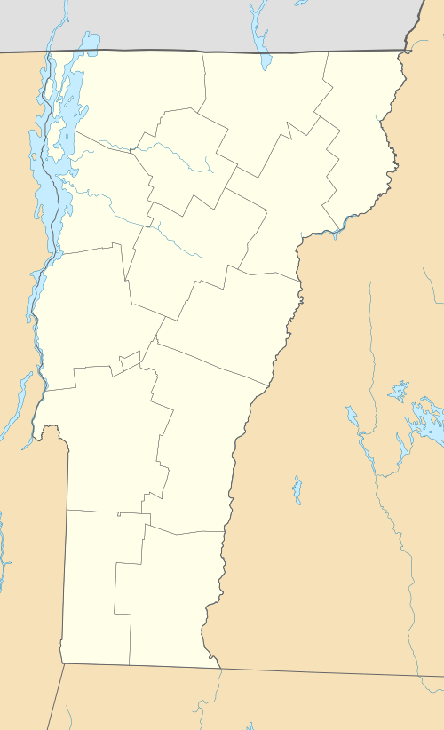 Location within Vermont | |
| Location | Lamoille County, Vermont, United States |
| Coordinates | 44°33′13″N 72°47′46″W / 44.55361°N 72.79611°WCoordinates: 44°33′13″N 72°47′46″W / 44.55361°N 72.79611°W |
| Elevation | 2,119 ft (646 m)[1] |
| Designation | State park |
| Named for | Smugglers Notch |
| Operator | Vermont State Parks |
| Website | Smugglers' Notch State Park |
Smugglers' Notch State Park is a Vermont state park near Stowe in Lamoille County, Vermont in the United States. The park is at an elevation of 2,119 feet (646 m)[1] near Mount Mansfield, and is named for Smugglers Notch, which separates Mount Mansfield—the highest peak of the Green Mountains—from Spruce Peak and the Sterling Range.
History
Smugglers Notch is named for the smuggling that was prompted by a request of President Thomas Jefferson to prevent American involvement in the Napoleonic Wars. The United States Congress passed the Embargo Act of 1807 which prohibitied American trade with Great Britain and Canada. The British bypassed the embargo by importing products to Canada and smuggling them down mountain trails through Smugglers Notch.[2] The Act caused great hardship for locals, many of whom continued the illegal trade with Canada, carrying goods and herding livestock through the notch. The geology of the notch made it well suited for smuggling as the area is remote and laced with numerous caves. The caves were used as hideaways by the smugglers.[2] Much of the illegal activity slowed with the onset of the War of 1812. Smugglers Notch was later used on the Underground Railroad when fugitive slaves used the notch as an escape route to Canada.[3] The route was improved to accommodate automobile traffic in 1922 thus providing a route for liquor to be brought in from Canada during the Prohibition years.[2][3] The caves were suited to storing illegal alcoholic beverages at near room temperature.[3]
Smugglers' Notch State Park was built near the notch by the depression-era Civilian Conservation Corps founded by President Franklin D. Roosevelt to provide employment for the out of work young men of New England. In 2003 the park was relocated, making way for a larger campground and modern facilities incorporating alternative energy. To preserve the work these pioneering conservationists, all original structures created by the CCC were carefully relocated to the new site.[4]
Geography
Smugglers' Notch State Park is situated in the Green Mountains which are part of the Appalachian Mountains, a range that stretches from Quebec in the north to Georgia in the south.[5] The Green Mountains have five peaks over 4,000 feet (1,200 m). Three of these (Mount Mansfield,[6] Camel's Hump,[7] and Mount Abraham)[8] support alpine vegetation.[9] All of the major peaks are traversed by the Long Trail, a wilderness hiking trail that runs from the southern to northern borders of the state and joins the Appalachian Trail for roughly ⅓ of its length.[10]
Recreation
Smugglers' Notch State Park on Vermont Route 108 is open for year-round recreation, but access is limited in the winter months to snow mobiles and skiers. There are fourteen lean-to shelters and twenty campsites at the campgrounds that are located just off Route 108.[4] The park serves as a trailhead for several hiking trails that stretch into Mount Mansfield State Forest. Sterling Pond trail passes through a dense secondary forest. The trail begins above the campground and is reached by a connector trail. It rises 900 feet to Sterling Pond which is open to fishing and swimming. Several trails begin at Smugglers' Notch State Park and ascend Mount Mansfield. Mountain climbing and spelunking is permitted at the park. Many large boulders and caves are found throughout the park and vertical cliffs are on Mount Mansfield and Elephant's Head.[3]
References
- 1 2 "Smugglers Notch Natural Area". Geographic Names Information System. United States Geological Survey. May 8, 2001. Retrieved December 4, 2009.
- 1 2 3 "The History of Smugglers' Notch". Smugglers' Notch Resort. Retrieved 2009-12-09.
- 1 2 3 4 Jacobs, Aaron. "Smugglers Notch: A Taste of a Place Uniquely Vermont". Vermont State Parks. Archived from the original on November 30, 2009. Retrieved 2009-12-09.
- 1 2 "Smugglers' Notch State Park Map and Guide". Vermont State Parks. Retrieved 2009-12-09.
- ↑ "Physiographic divisions of the conterminous U. S.". U.S. Geological Survey. Retrieved 2009-12-11.
- ↑ "Mount Mansfield, Vermont". Peakbagger.com. Retrieved 2009-12-11.
- ↑ "Camels Hump, Vermont". Peakbagger.com. Retrieved 2009-12-11.
- ↑ "Mount Abraham, Vermont". Peakbagger.com. Retrieved 2009-12-11.
- ↑ Arno, S. F. & Hammerly, R. P. (1984). Timberline. Mountain and Arctic Forest Frontiers.. Seattle: The Mountaineers. ISBN 0-89886-085-7.
- ↑ "Long Trail: Vermont's Hiking Trail". Vermont Hiking Club. Retrieved 2009-12-11.