South Fork State Recreation Area
| South Fork State Recreation Area | |
| Nevada State Park | |
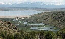 South Fork Dam and Reservoir, looking southeast | |
| Country | |
|---|---|
| State | |
| County | Elko |
| Location | Spring Creek |
| - elevation | 5,226 ft (1,593 m) [1] |
| - coordinates | 40°39′27″N 115°44′47″W / 40.65750°N 115.74639°WCoordinates: 40°39′27″N 115°44′47″W / 40.65750°N 115.74639°W |
| Area | 4,000 acres (1,620 ha) [2] |
| - Water | 1,650 acres (670 ha) |
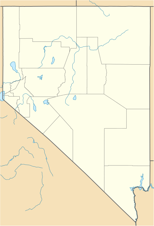 Location of South Fork State Recreation Area in Nevada | |
South Fork State Recreation Area is a state park unit of Nevada, USA, surrounding the 1,650-acre (670 ha) South Fork Reservoir. Located 15 miles (24 km) south of the town of Elko, it is in the Northern Nevada Region of Nevada State Parks.
The park comprises the reservoir, impounded on the South Fork of the Humboldt River in 1988, surrounded by 2,200 acres (890 ha) of marsh, meadowland, and hills. Facilities include a 25-site campground, a boat ramp, and a parking area near the South Fork Dam. The reservoir is known for its trophy-class trout and bass fishing. South Fork Canyon, located below the dam, is available for hiking.
References
- ↑ "South Creek State Recreation Area". Geographic Names Information System. United States Geological Survey. 1992-01-01. Retrieved 2012-09-14.
- ↑ Moore, Randy; Jenny Scanland; Steve Weaver; Jim Wilkenson (2007). "South Fork State Recreation Area 2007 Development Plan" (PDF). Nevada Division of State Parks. Retrieved 2011-04-01.
External links
This article is issued from Wikipedia - version of the 4/26/2015. The text is available under the Creative Commons Attribution/Share Alike but additional terms may apply for the media files.