Southery
| Southery | |
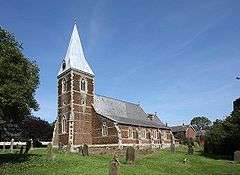 St Mary, Southery |
|
 Southery |
|
| Area | 18.12 km2 (7.00 sq mi) |
|---|---|
| Population | 1,324 (2011) |
| – density | 73/km2 (190/sq mi) |
| OS grid reference | TL621946 |
| Civil parish | Southery |
| District | King's Lynn and West Norfolk |
| Shire county | Norfolk |
| Region | East |
| Country | England |
| Sovereign state | United Kingdom |
| Post town | DOWNHAM MARKET |
| Postcode district | PE38 |
| Police | Norfolk |
| Fire | Norfolk |
| Ambulance | East of England |
| EU Parliament | East of England |
Coordinates: 52°31′33″N 0°23′18″E / 52.5258°N 0.3883°E
Southery is a civil parish in Norfolk, England, which covers an area of 18.12 km2 (7.00 sq mi) and had a population of 1,324 at the 2011 Census.[1] For local government purposes, it falls within the district of King's Lynn and West Norfolk.
Notes
- ↑ "Parish population 2011". Retrieved 29 August 2015.
External links
Village Web site Southery.Com
![]() Media related to Southery at Wikimedia Commons
Media related to Southery at Wikimedia Commons
This article is issued from Wikipedia - version of the 10/7/2016. The text is available under the Creative Commons Attribution/Share Alike but additional terms may apply for the media files.