St. Charles Airport (Louisiana)
Not to be confused with St. Charles Airport.
| St. Charles Airport | |||||||||||
|---|---|---|---|---|---|---|---|---|---|---|---|
| IATA: none – ICAO: none – FAA LID: LS40 | |||||||||||
| Summary | |||||||||||
| Airport type | Private | ||||||||||
| Owner | St. Charles Land Corp | ||||||||||
| Serves | Ama, Louisiana | ||||||||||
| Elevation AMSL | 13 ft / 4 m | ||||||||||
| Coordinates | 29°57′12″N 90°17′17″W / 29.95333°N 90.28806°WCoordinates: 29°57′12″N 90°17′17″W / 29.95333°N 90.28806°W | ||||||||||
| Map | |||||||||||
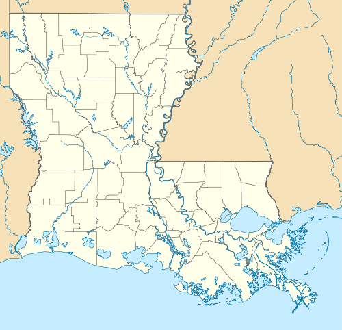 LS40 Location of airport in Louisiana | |||||||||||
| Runways | |||||||||||
| |||||||||||
| Statistics | |||||||||||
| |||||||||||
|
Source: [1] Federal Aviation Administration. | |||||||||||
St. Charles Airport (FAA LID: LS40) is a privately owned airport in St. Charles Parish, Louisiana, United States.[1] It is located one nautical mile (1.60934 km) southeast of Ama, Louisiana.[1]
Facilities and aircraft
St. Charles Airport covers an area of 22 acres (8 ha) at an elevation of 13 feet (4 m) above mean sea level. It has one runway designated 17/35 with a turf surface measuring 3,900 by 125 feet (1189 x 38 m).[1]
For the 12-month period ending June 25, 2015, the airport had 900 aircraft operations, an average of 75 per month: 100% general aviation. At that time there were 32 aircraft based at this airport: 94% single-engine, 3% multi-engine, and 3% ultralight.[1]
See also
References
External links
- Aeronautical chart at SkyVector
- FAA Information at AirNav
This article is issued from Wikipedia - version of the 12/5/2016. The text is available under the Creative Commons Attribution/Share Alike but additional terms may apply for the media files.