Suryapet mandal
| Suryapet mandal సూర్యాపేట మండలం | |
|---|---|
| Mandal | |
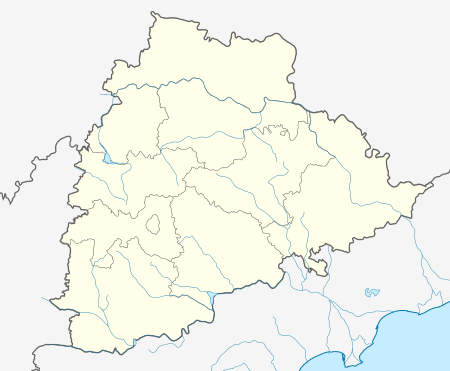 Suryapet mandal  Suryapet mandal Location in Telangana, India | |
| Coordinates: 17°08′29″N 79°37′25″E / 17.1415°N 79.6236°ECoordinates: 17°08′29″N 79°37′25″E / 17.1415°N 79.6236°E | |
| Country | India |
| State | Telangana |
| District | Suryapet |
| Headquarters | Suryapet |
| Population (2011) | |
| • Total | 140,662 |
| Languages | |
| • Official | Telugu |
| Time zone | IST (UTC+5:30) |
Suryapet mandal is one of the 23 mandals in Suryapet district of the Indian state of Telangana. It is under the administration of Suryapet revenue division with its headquarters at Suryapet.[1][2] The mandal is located on the banks of Musi river which separates it from Kethepally mandal and is bounded by Jajireddigudem, Athmakur (S), Chivvemla and Penpahad mandals.[3] The density of population of the mandal is the highest of all the mandals in the district with 748.
Towns and villages
As of 2011 census of India, the mandal has 19 settlements. It includes 1 town, 2 partial out growths and 16 villages.[1][2]
The settlements in the mandal are listed below:
- Notes
- (†) Mandal headquarter
References
- 1 2 "Guntur District Mandals" (PDF). Census of India. pp. 454,491. Retrieved 21 February 2016.
- 1 2
- ↑ "Mandals in Guntur district". aponline.gov.in. Retrieved 21 February 2016.
This article is issued from Wikipedia - version of the 11/20/2016. The text is available under the Creative Commons Attribution/Share Alike but additional terms may apply for the media files.