Swine, East Riding of Yorkshire
Coordinates: 53°48′24″N 0°16′35″W / 53.806544°N 0.276251°W
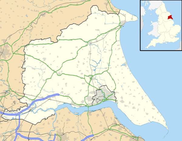
Swine is a village and civil parish in the East Riding of Yorkshire, England. It is situated approximately 5 miles (8 km) north-east of Hull city centre and 2 miles (3.2 km) south of Skirlaugh to the west of the A165 road.

The civil parish of Swine consists of the village of Swine and the hamlet of Benningholme. According to the 2011 UK census, Swine parish had a population of 139,[1] a decrease on the 2001 UK census figure of 143.[2]
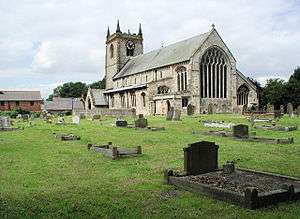
The Priory Church of St Mary the Virgin was designated a Grade I listed building in 1966 and is now recorded in the National Heritage List for England, maintained by Historic England.[3]
Swine was served from 1864 to 1964 by Swine railway station on the Hull and Hornsea Railway.[4]
_-_geograph.org.uk_-_651580.jpg)
Two miles south-west of the village are the earthwork remains of the medieval Swine Castle that is a Scheduled Ancient Monument.[5]
References
- 1 2 "Key Figures for 2011 Census: Key Statistics: Area: Swine CP (Parish)". Neighbourhood Statistics. Office for National Statistics. Retrieved 7 February 2013.
- ↑ "2001 Census: Key Statistics: Parish Headcounts: Area: Swine CP (Parish)". Neighbourhood Statistics. Office for National Statistics. Retrieved 2008-05-20.
- ↑ Historic England. "Church of St Mary (1083427)". National Heritage List for England. Retrieved 10 August 2013.
- ↑ Butt, R. V. J. (1995). The Directory of Railway Stations: details every public and private passenger station, halt, platform and stopping place, past and present (1st ed.). Sparkford: Patrick Stephens Ltd. ISBN 1-8526-0508-1. OCLC 60251199.
- ↑ Historic England. "Swine Castle Hill (1008042)". National Heritage List for England. Retrieved 11 June 2015.
- Gazetteer — A–Z of Towns Villages and Hamlets. East Riding of Yorkshire Council. 2006. p. 10.
External links
| Wikimedia Commons has media related to Swine. |
- Swine in the Domesday Book
