Szápár
| Szápár | |
|---|---|
 Szápár Location of Szápár | |
| Coordinates: 47°18′59″N 18°02′33″E / 47.31629°N 18.04238°ECoordinates: 47°18′59″N 18°02′33″E / 47.31629°N 18.04238°E | |
| Country |
|
| County | Veszprém |
| Area | |
| • Total | 7.09 km2 (2.74 sq mi) |
| Population (2001) | |
| • Total | 563 |
| • Density | 79.41/km2 (205.7/sq mi) |
| Time zone | CET (UTC+1) |
| • Summer (DST) | CEST (UTC+2) |
| Postal code | 8423 |
| Area code(s) | 88 |
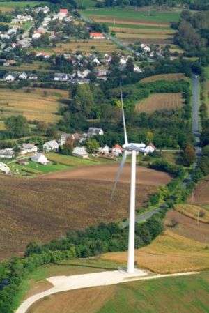
Szápár - wind power plant
Szápár (historically: Szapár) is a village in Veszprém county, Hungary in Zirc District.

This article is issued from Wikipedia - version of the 9/8/2016. The text is available under the Creative Commons Attribution/Share Alike but additional terms may apply for the media files.