Ta Oy District
| Ta Oy ເມືອງຕະໂອ້ຍ | |
|---|---|
| Muang (district) | |
 Ta Oy | |
| Coordinates: LA 16°3′N 106°35′E / 16.050°N 106.583°E | |
| Country |
|
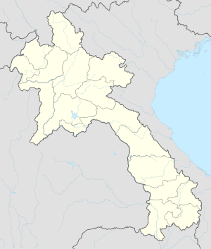
| Province | Saravane Province |
| Time zone | UTC + 7 (UTC+7) |
Ta Oy is a district (muang) of Saravane Province in southern Laos.[1]
Towns and villages
Ta Oy District is located in the mountain area and is the poorest district. The district is 84km away from the Salavan Province, with Norng District in the Savannakhet province in the north. To the south is Saravan province, to the east is Samuay District and west is Toumlarn District. Ta Oy District has the total area of 319,000 hectares, including 4 ethnic groups: Lao loum, Ta Oy, Katarng and Pakoh. There are 56 villages in the district, with a total of 3,036 houses including 3,621 families and 23,871 people. Women cover 12,428 people. The average population density is 6 people per km2. Before Laos fought for independence, the district was 100% ethnic.
References
Coordinates: 16°3′N 106°35′E / 16.050°N 106.583°E
| Attapu | |
|---|---|
| Bokeo | |
| Bolikhamsai | |
| Champassack | |
| Houaphanh | |
| Khammouane | |
| Louang Namtha | |
| Luang Prabang | |
| Oudomxay | |
| Phongsaly | |
| Salavan | |
| Savannakhet | |
| Sekong | |
| Vientiane |
|
| Vientiane (Viengchan) |
|
| Xaignabouli | |
| Xiangkhouang | |