Tapini Rural LLG
| Tapini Rural LLG | |
|---|---|
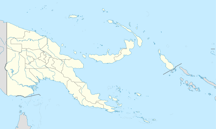 Tapini Rural LLG Location within Papua New Guinea | |
| Coordinates: 8°18′43″S 147°01′05″E / 8.312°S 147.018°E | |
| Country | Papua New Guinea |
| Province | Central Province |
| District | Goilala District |
| Capital | Tapini |
| Government | |
| • President | Sebastine Mark |
| Area | |
| • Total | 1,501 km2 (580 sq mi) |
| Population (2000[1]) | |
| • Total | 7,315 |
| • Density | 4.9/km2 (13/sq mi) |
| Languages | |
| • Main languages | Tauade |
| Time zone | AEST (UTC+10) |
The Tapini Rural LLG is a local level government area situated in the Goilala District of the Central Province of Papua New Guinea. In 2000, the LLG had 1,685 households, and a population of 7,315 (3,793 men and 3,522 women).[1] The area contains the town of Tapini, and is divided into ten wards:
- 53020580 Tapini Urban
- 53020501 Ivani
- 53020502 Central Ivane
- 53020503 Sopu
- 53020504 Kerau
- 53020505 Kataipa
- 53020506 Jowa
- 53020507 Loloipa
- 53020508 Pilitu 1
- 53020509 Pilitu 2
The LLG has a President and a Deputy President, and elections are normally held every five years after the national elections in September.[2]
Villages
- Tapini
- Ariome
- Ilai
- Kataipa
- Kerau
- Kileipi
- Kilete
- Kovetapa
- Lavavai
- Loleava
- Lotuava
- Minaru
- Omoritu
- Opore
- Sopu
- Tatupiti
- Tawuni
- Tororo
- Wapote
- Zania
References
- 1 2 PNG Business Directory. "Population by Statistical LLG Areas, Central Province, 2000.". Retrieved 25 July 2011.
- ↑ "Political and Administrative Structures in Goilala District". Retrieved 26 July 2011.
| Guari | Kira | Kira | |
| Guari | |
Kira | |
| |||
| | |||
| Mekeo Kuni | Woitape | Woitape |
| Abau |
| |
|---|---|---|
| Goilala | ||
| Kairuku |
| |
| Rigo |
| |
This article is issued from Wikipedia - version of the 8/13/2013. The text is available under the Creative Commons Attribution/Share Alike but additional terms may apply for the media files.