Tavkvetili
| Tavkvetili | |
|---|---|
_1.jpg) Tavkvetili seen from the village of Tabatskuri | |
| Highest point | |
| Elevation | 2,583 m (8,474 ft) |
| Coordinates | 41°40′52″N 43°43′17″E / 41.6811°N 43.7214°ECoordinates: 41°40′52″N 43°43′17″E / 41.6811°N 43.7214°E |
| Geography | |
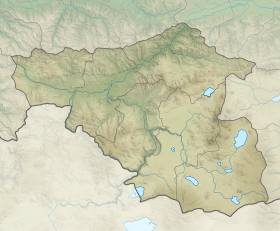 Tavkvetili  Tavkvetili Location of the mountain | |
| Location | Georgia |
| Parent range | Abul-Samsari Range |
Mount Tavkvetili (Georgian: თავკვეთილი) is a volcanic mountain in the northern part of the Abul-Samsari Range in the Samtskhe-Javakheti region of Southern Georgia.[1] It is also known as Gora Tavk'vetili and Mta Tavk'vetili. The elevation of the mountain is 2,583 metres (8,474 ft) above sea level and is the 323rd highest mountain in Georgia.[2] The mountain has the shape of a decapitated cone and is composed of young andesitic and andesitic-dacitic lavas. The lower slopes of Mount Tavkvetili are covered by subalpine meadows while the upper slopes are covered by alpine meadows.
Natural Disasters
Mount Tavkvetili has destructive earthquakes around once every 50 years that rank over a 7 on the Richter scale.[3]
References
- Georgian State (Soviet) Encyclopedia. 1979. Book 4. p. 569.
| Wikimedia Commons has media related to Tavkvetili. |
This article is issued from Wikipedia - version of the 8/16/2016. The text is available under the Creative Commons Attribution/Share Alike but additional terms may apply for the media files.